Transport Functions
Port
Road
Hub Profile
Place type
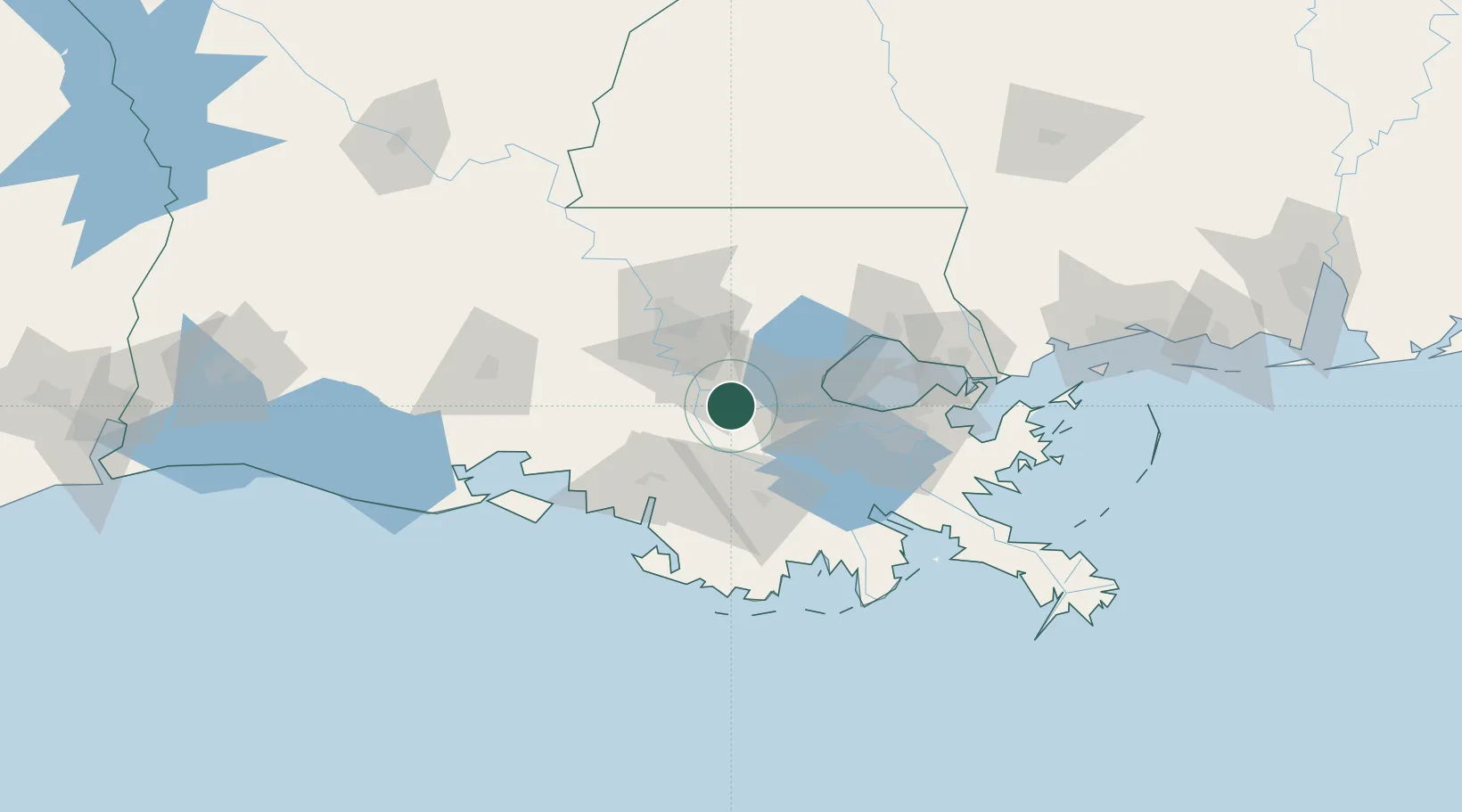
Populated place
Region
Louisiana
Population
800
Time zone
America/Chicago
Elevation
6 m
Location
Nearby Logistics Neighbours
Cities
- 1Romeville3 km
- 2Burnside10 km
- 3Saint James10 km
- 4Vacherie16 km
- 5Lutcher16 km
Ports
- 1Convent5 km
- 2St. James9 km
- 3Reserve31 km
- 4Destrehan49 km
- 5Morgan City52 km
Airports
Trade Zones
DatabookThe Record of Consolidated Knowledge
United States beyond logistics?