UN/LOCODE hub · United States
USXXN
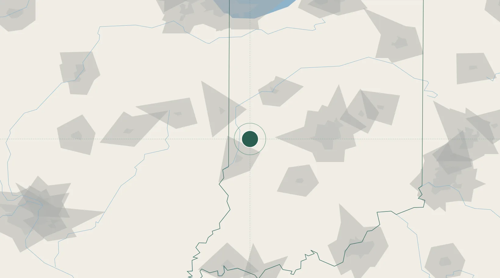
Rockville
39.7500°, -87.2333°
2,545
Population
2
Transport functions
Transport Functions
Rail
Road
Hub Profile
Place type
Provincial seat
Region
Indiana
Population
2,545
Time zone
America/Indiana/Indianapolis
Elevation
217 m
Location
Nearby Logistics Neighbours
Cities
- 1Russellville24 km
- 2Brazil28 km
- 3Reelsville32 km
- 4Sandford34 km
- 5West Terre Haute37 km
Ports
- 1Gary208 km
- 2Indiana Harbor214 km
- 3Calumet Harbor222 km
- 4Michigan City222 km
- 5Chicago239 km
Airports
Trade Zones
- 1FTZ No. 072 Indianapolis79 km
- 2FTZ No. 245 Decatur156 km
- 3FTZ No. 177 Evansville198 km
- 4FTZ No. 029 Louisville206 km
- 5FTZ No. 152 Burns Harbor208 km
DatabookThe Record of Consolidated Knowledge
United States beyond logistics?