UN/LOCODE hub · United States
USUVI
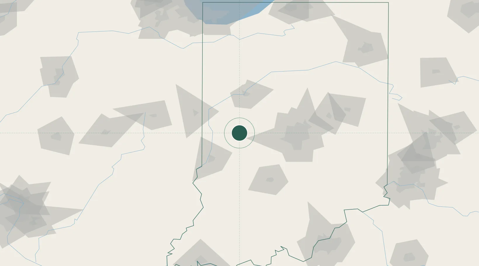
Russellville
39.8500°, -86.9833°
349
Population
2
Transport functions
Transport Functions
Rail
Road
Hub Profile
Place type
Populated place
Region
Indiana
Population
349
Time zone
America/Indiana/Indianapolis
Elevation
250 m
Location
Nearby Logistics Neighbours
Cities
- 1Rockville24 km
- 2Reelsville33 km
- 3Lizton37 km
- 4Veedersburg38 km
- 5Brazil39 km
Ports
- 1Gary199 km
- 2Indiana Harbor206 km
- 3Michigan City210 km
- 4Calumet Harbor214 km
- 5Chicago232 km
Airports
Trade Zones
- 1FTZ No. 072 Indianapolis59 km
- 2FTZ No. 245 Decatur177 km
- 3FTZ No. 152 Burns Harbor198 km
- 4FTZ No. 182 Fort Wayne198 km
- 5FTZ No. 029 Louisville203 km
DatabookThe Record of Consolidated Knowledge
United States beyond logistics?