Transport Functions
Rail
Road
Hub Profile
Place type
Populated place
Region
Indiana
Time zone
America/Indiana/Indianapolis
Elevation
192 m
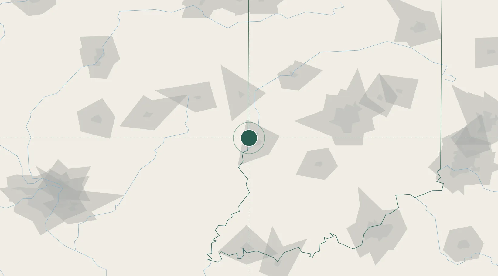
Location
Nearby Logistics Neighbours
Cities
- 1West Terre Haute9 km
- 2Marshall23 km
- 3Rockville34 km
- 4Brazil34 km
- 5Martinsville39 km
Ports
- 1Gary232 km
- 2Indiana Harbor237 km
- 3Calumet Harbor245 km
- 4Michigan City250 km
- 5Chicago261 km
Airports
Trade Zones
- 1FTZ No. 072 Indianapolis105 km
- 2FTZ No. 245 Decatur137 km
- 3FTZ No. 177 Evansville171 km
- 4FTZ No. 029 Louisville205 km
- 5FTZ No. 114 Peoria219 km
DatabookThe Record of Consolidated Knowledge
United States beyond logistics?