Transport Functions
Rail
Road
Hub Profile
Place type
Provincial seat
Region
Indiana
Population
8,109
Time zone
America/Indiana/Indianapolis
Elevation
199 m
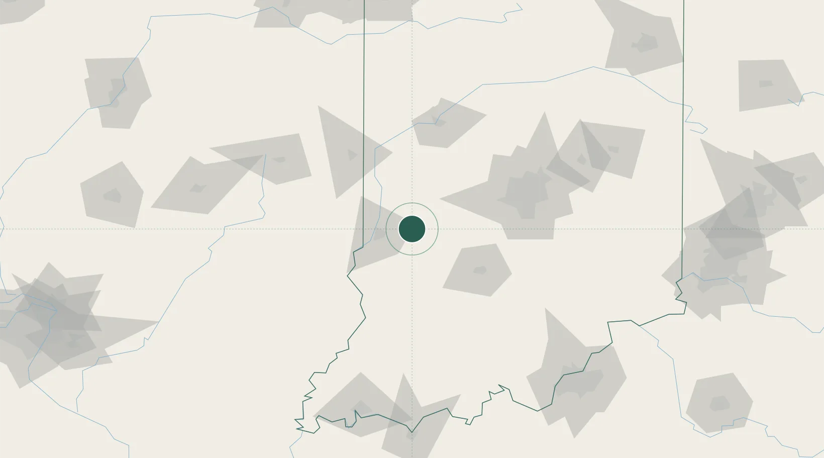
Location
Nearby Logistics Neighbours
Cities
- 1Reelsville13 km
- 2Rockville28 km
- 3West Terre Haute29 km
- 4Sandford34 km
- 5Russellville39 km
Ports
- 1Gary234 km
- 2Indiana Harbor241 km
- 3Michigan City247 km
- 4Calumet Harbor249 km
- 5Chicago266 km
Airports
Trade Zones
- 1FTZ No. 072 Indianapolis73 km
- 2FTZ No. 245 Decatur170 km
- 3FTZ No. 177 Evansville175 km
- 4FTZ No. 029 Louisville180 km
- 5FTZ No. 047 Boone County202 km
DatabookThe Record of Consolidated Knowledge
United States beyond logistics?