Transport Functions
Rail
Road
Hub Profile
Place type
Populated place
Region
Indiana
Time zone
America/Indiana/Indianapolis
Elevation
214 m
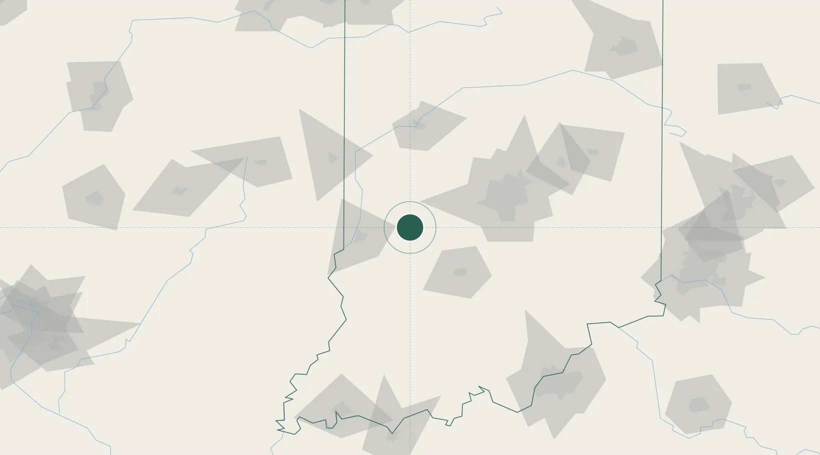
Location
Nearby Logistics Neighbours
Cities
- 1Brazil13 km
- 2Rockville32 km
- 3Russellville33 km
- 4Gosport34 km
- 5Spencer35 km
Ports
- 1Gary232 km
- 2Indiana Harbor239 km
- 3Michigan City243 km
- 4Calumet Harbor247 km
- 5Chicago265 km
Airports
Trade Zones
- 1FTZ No. 072 Indianapolis59 km
- 2FTZ No. 029 Louisville175 km
- 3FTZ No. 177 Evansville182 km
- 4FTZ No. 245 Decatur182 km
- 5FTZ No. 047 Boone County191 km
DatabookThe Record of Consolidated Knowledge
United States beyond logistics?