Transport Functions
Rail
Road
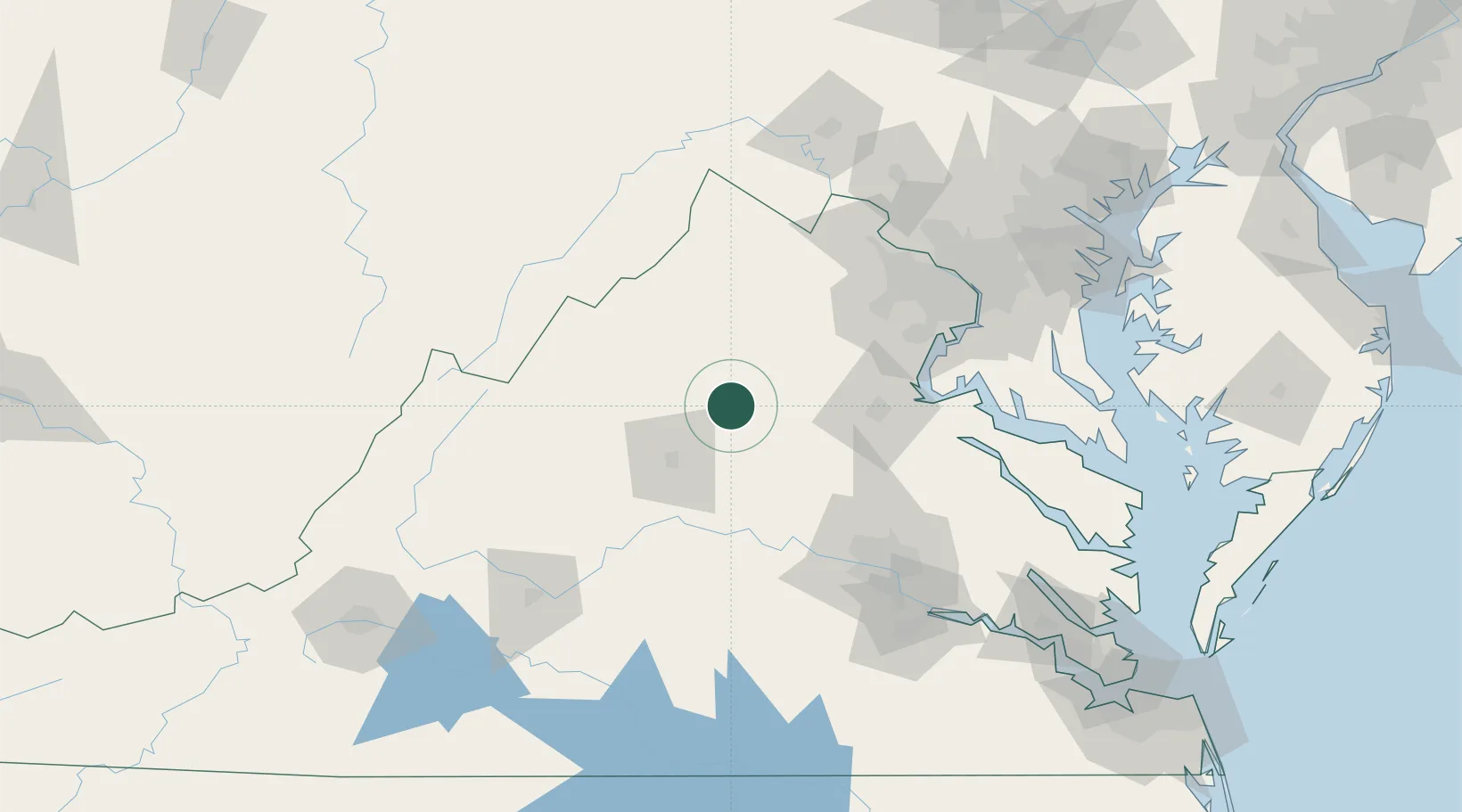
Hub Profile
Place type
Populated place
Region
Virginia
Time zone
America/New_York
Elevation
181 m
Location
Nearby Logistics Neighbours
Cities
- 1Rochelle6 km
- 2Rapidan15 km
- 3Ruckersville17 km
- 4Barboursville17 km
- 5Stevensburg31 km
Ports
- 1Fredericksburg67 km
- 2Richmond112 km
- 3Alexandria116 km
- 4Washington D.C.120 km
- 5Piney Point148 km
Airports
Trade Zones
DatabookThe Record of Consolidated Knowledge
United States beyond logistics?