UN/LOCODE hub · United States
USRUK
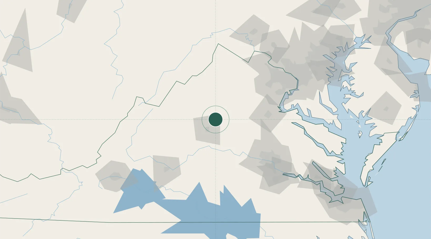
Ruckersville
38.2167°, -78.3667°
1,141
Population
2
Transport functions
Transport Functions
Road
Multimodal
Hub Profile
Place type
Populated place
Region
Virginia
Population
1,141
Time zone
America/New_York
Elevation
185 m
Location
Nearby Logistics Neighbours
Cities
- 1Barboursville10 km
- 2Rochelle12 km
- 3Windsor16 km
- 4Aroda17 km
- 5Rapidan29 km
Ports
- 1Fredericksburg81 km
- 2Richmond113 km
- 3Alexandria133 km
- 4Washington D.C.137 km
- 5West Point157 km
Airports
Trade Zones
DatabookThe Record of Consolidated Knowledge
United States beyond logistics?