Transport Functions
Rail
Road
Multimodal
Hub Profile
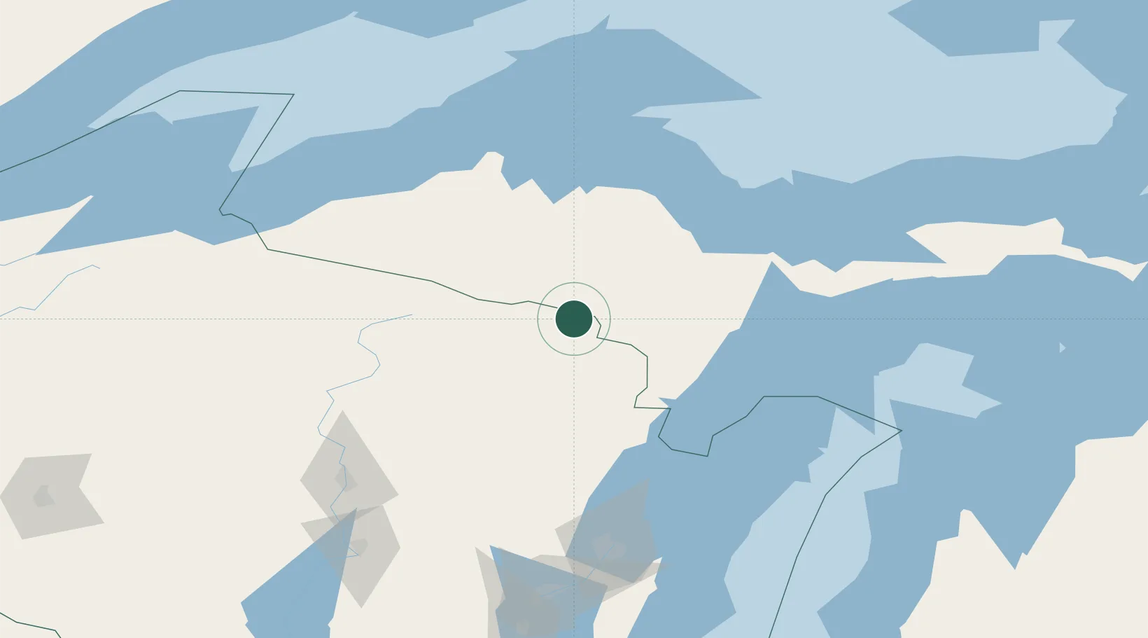
Place type
Provincial seat
Region
Wisconsin
Population
592
Time zone
America/Chicago
Elevation
398 m
Location
Nearby Logistics Neighbours
Cities
- 1Sagola23 km
- 2Quinnesec24 km
- 3Norway31 km
- 4Goodman32 km
- 5Iron River35 km
Airports
Trade Zones
- 1FTZ No. 167 Brown County162 km
- 2FTZ No. 016 Sault Ste. Marie302 km
- 3FTZ No. 019 Omaha315 km
- 4FTZ No. 041 Milwaukee318 km
- 5FTZ No. 051 Duluth321 km
DatabookThe Record of Consolidated Knowledge
United States beyond logistics?