UN/LOCODE hub · United States
USIRW
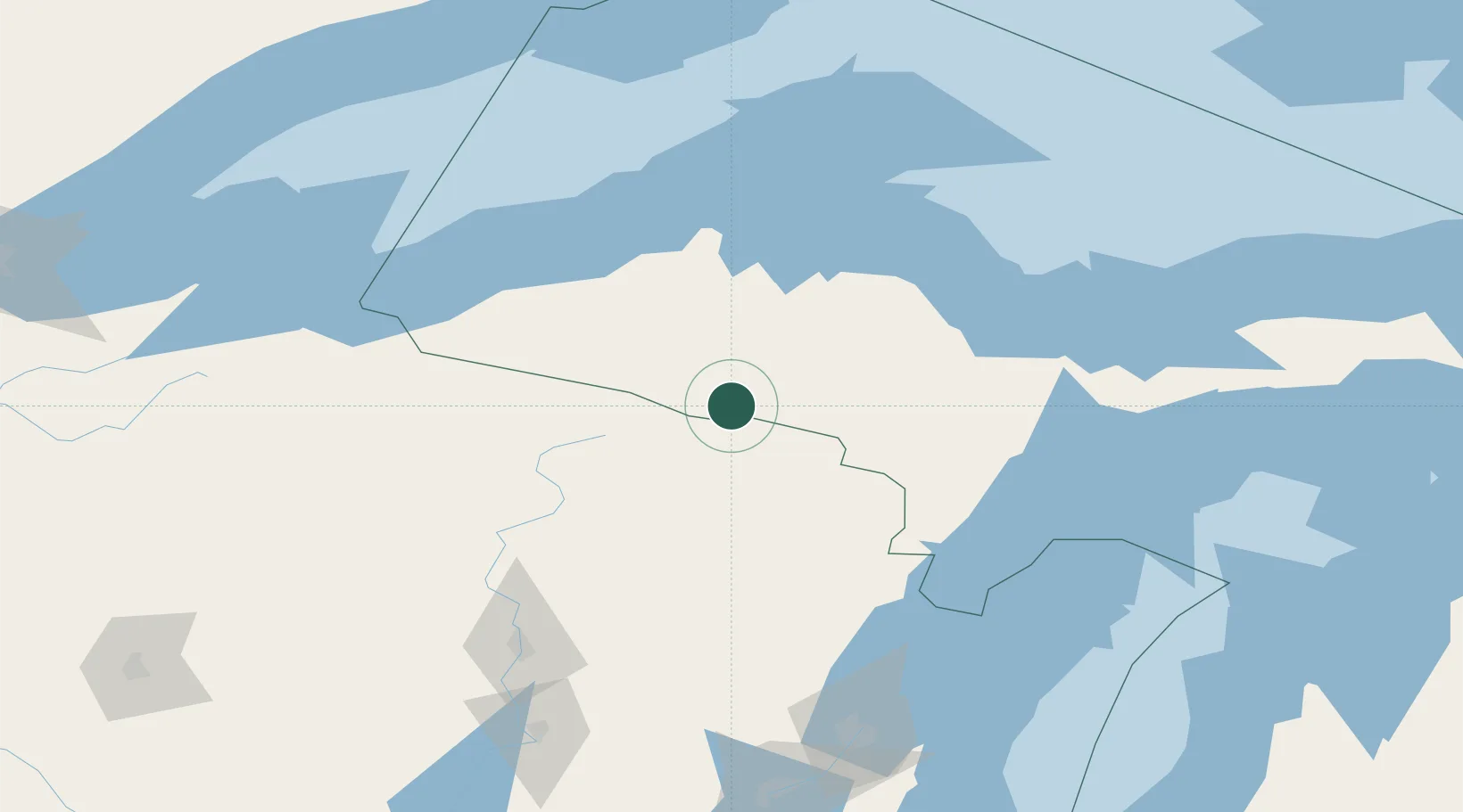
Iron River
46.0833°, -88.6333°
2,904
Population
3
Transport functions
Transport Functions
Rail
Road
Multimodal
Hub Profile
Place type
Populated place
Region
Michigan
Population
2,904
Time zone
America/Menominee
Elevation
461 m
Location
Nearby Logistics Neighbours
Ports
- 1L Anse77 km
- 2Baraga79 km
- 3Ontonagon104 km
- 4Marquette108 km
- 5Presque Isle110 km
Airports
Trade Zones
- 1FTZ No. 167 Brown County183 km
- 2FTZ No. 051 Duluth287 km
- 3FTZ No. 016 Sault Ste. Marie328 km
- 4FTZ No. 041 Milwaukee339 km
- 5FTZ No. 019 Omaha344 km
DatabookThe Record of Consolidated Knowledge
United States beyond logistics?