Transport Functions
Rail
Road
Hub Profile
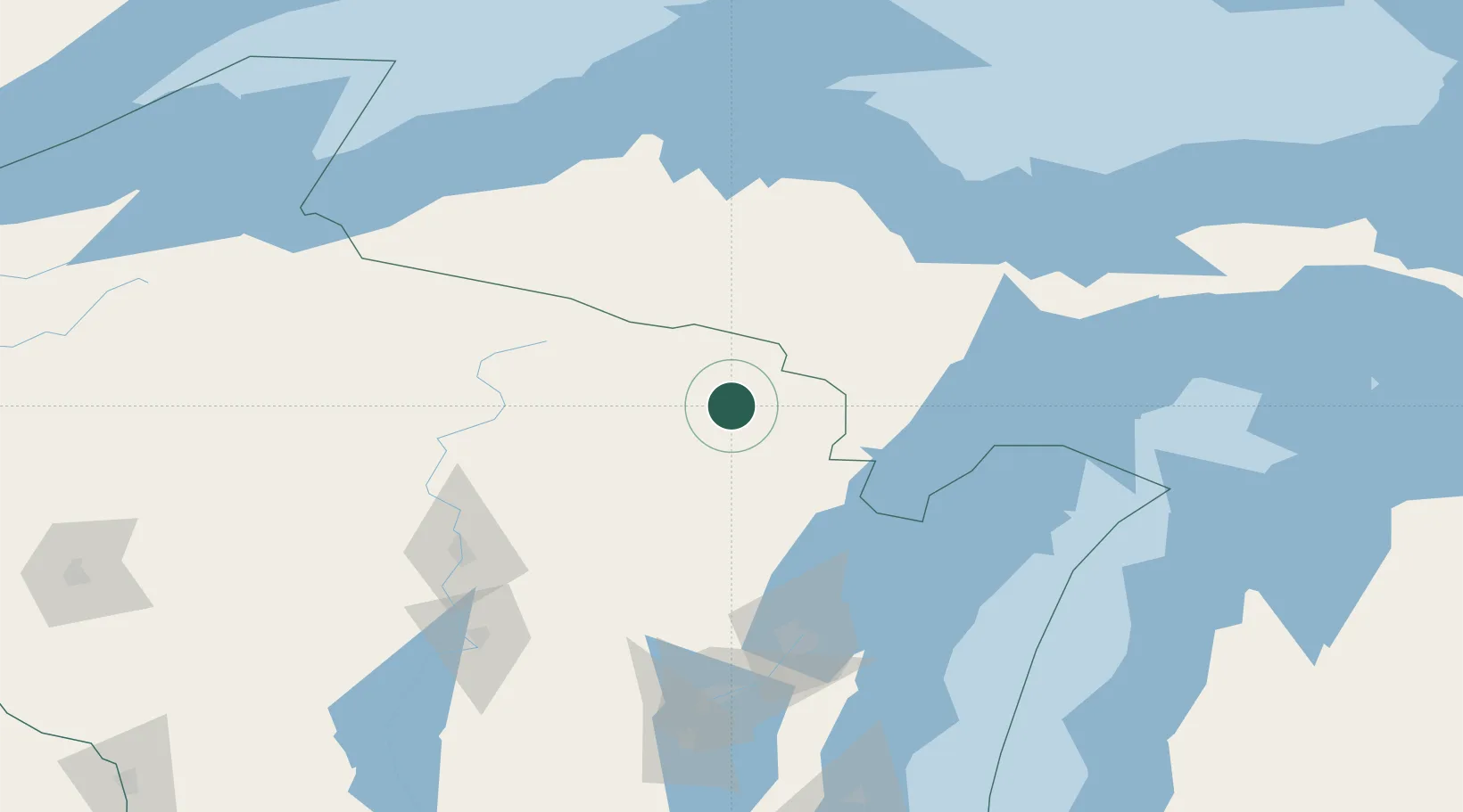
Place type
Populated place
Region
Wisconsin
Population
271
Time zone
America/Chicago
Elevation
424 m
Location
Nearby Logistics Neighbours
Airports
- 1Ford Airport28 km
- 2Rhinelander Oneida County Airport87 km
- 3Delta County Airport99 km
- 4Marquette/Sawyer International Airport109 km
- 5Wausau Downtown Airport127 km
Trade Zones
- 1FTZ No. 167 Brown County131 km
- 2FTZ No. 041 Milwaukee287 km
- 3FTZ No. 019 Omaha289 km
- 4FTZ No. 266 Dane County305 km
- 5FTZ No. 189 Kent Ottawa/Muskegon Counties313 km
DatabookThe Record of Consolidated Knowledge
United States beyond logistics?