UN/LOCODE hub · United States
USQMC
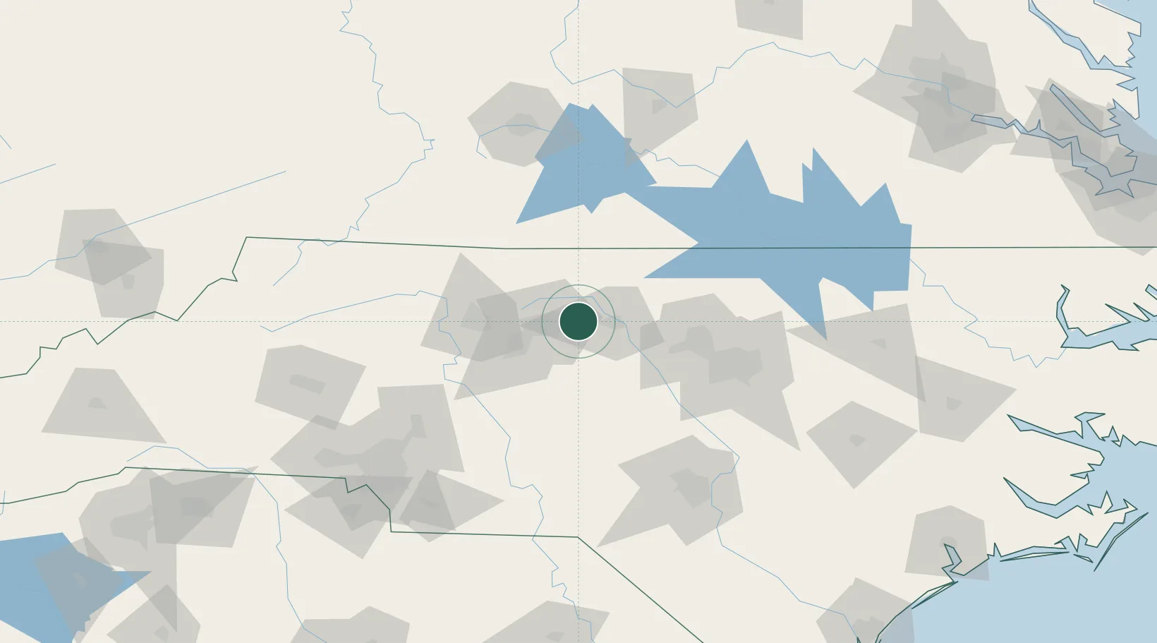
McLeansville
36.1000°, -79.6500°
1,021
Population
4
Transport functions
Transport Functions
Port
Rail
Road
Multimodal
Hub Profile
Place type
Populated place
Region
North Carolina
Population
1,021
Time zone
America/New_York
Elevation
232 m
Location
Nearby Logistics Neighbours
Cities
- 1Gibsonville9 km
- 2Elon14 km
- 3Glen Raven17 km
- 4Climax23 km
- 5Summerfield25 km
Ports
- 1Washington242 km
- 2Richmond255 km
- 3Wilmington259 km
- 4New Bern260 km
- 5Plymouth262 km
Airports
Trade Zones
- 1FTZ No. 230 Piedmont Triad Area46 km
- 2FTZ No. 093 Raleigh Durham70 km
- 3FTZ No. 238 Dublin145 km
- 4FTZ No. 057 Mecklenburg County160 km
- 5FTZ No. 214 Lenoir County187 km
DatabookThe Record of Consolidated Knowledge
United States beyond logistics?