UN/LOCODE hub · United States
USHIF
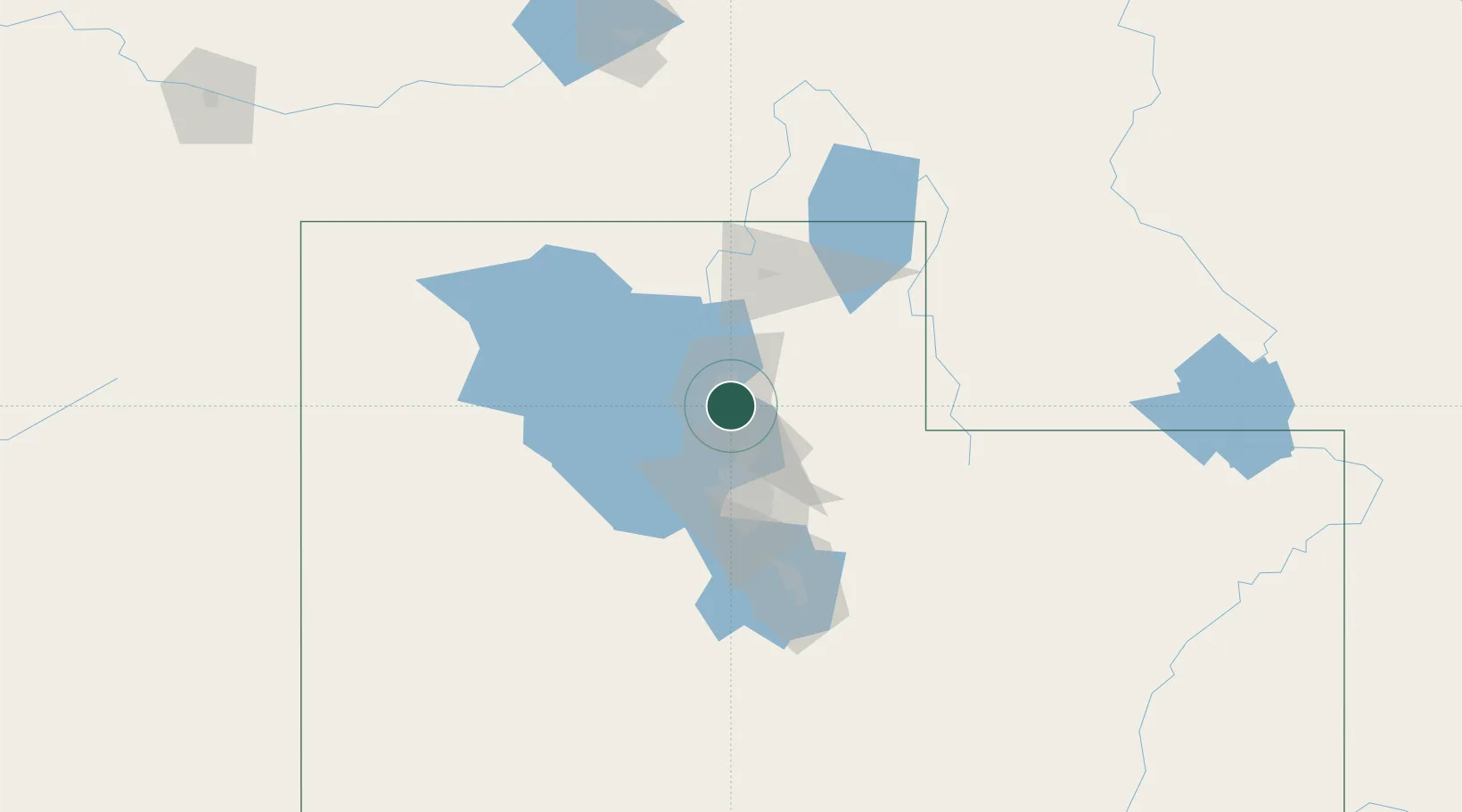
Hill Air Force Base
41.1167°, -111.9833°
3,462
Population
5
Transport functions
Transport Functions
Port
Rail
Road
Airport
Multimodal
Hub Profile
Place type
Populated place
Region
Utah
Population
3,462
Time zone
America/Denver
Elevation
1,461 m
Location
Nearby Logistics Neighbours
Cities
- 1Sunset6 km
- 2Washington Terrace6 km
- 3Layton6 km
- 4South Ogden8 km
- 5Kaysville10 km
Ports
- 1Sacramento859 km
- 2Stockton873 km
- 3Courtland876 km
- 4Walnut Grove876 km
- 5Isleton886 km
Airports
Trade Zones
- 1FTZ No. 030 Salt Lake City38 km
- 2FTZ No. 280 Ada and Canyon Counties494 km
- 3FTZ No. 274 Butte-Silver Bow538 km
- 4FTZ No. 275 Lansing546 km
- 5FTZ No. 298 Jefferson County598 km
DatabookThe Record of Consolidated Knowledge
United States beyond logistics?