UN/LOCODE hub · United States
USW9A

Washington Terrace

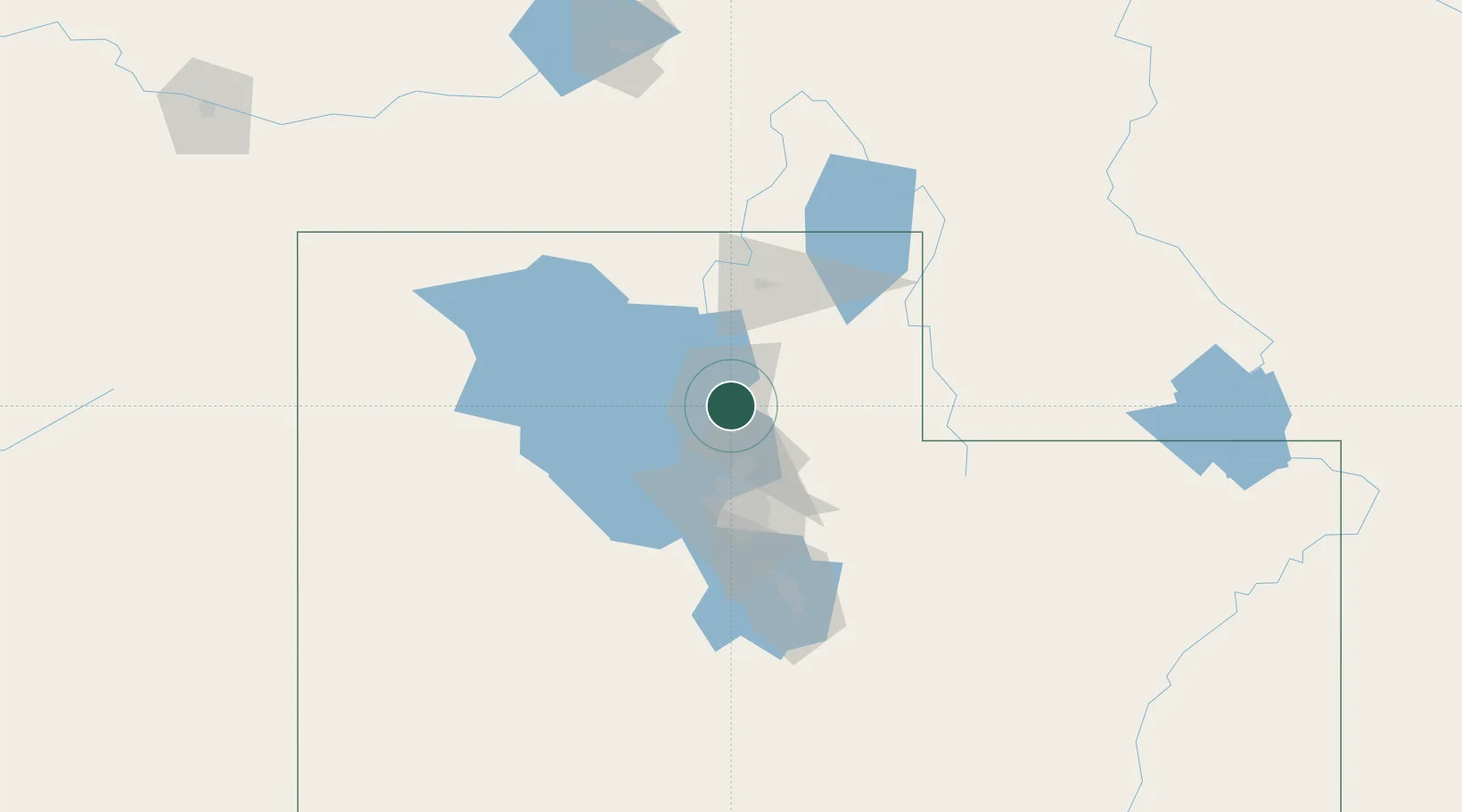
41.1667°, -111.9667°
9,157
Population
1
Transport functions

Transport Functions

Port
Washington Terrace is also a profiled seaport →
UN/LOCODE

Hub Profile

Place type
Populated place
GeoNames
Region
Utah
GeoNames
Population
9,157
GeoNames
Time zone
America/Denver
GeoNames
Elevation
1,405 m
GeoNames

Location

Location of USW9A
Natural Earth 10m (public domain) · Utah · USW9A · 41.17, -111.97GoogleOSMYandex

Nearby Logistics Neighbours

Cities
  1. 1South Ogden2 km
  2. 2Hill Air Force Base6 km
  3. 3Sunset6 km
  4. 4Layton11 km
  5. 5Hooper13 km
Nearest neighbours — logibook spatial index (haversine) over the source coordinates
Ports
  1. 1Sacramento862 km
  2. 2Stockton876 km
  3. 3Courtland879 km
  4. 4Walnut Grove879 km
  5. 5Isleton889 km
Nearest neighbours — logibook spatial index (haversine) over the source coordinates
Airports
  1. 1Hill Air Force Base5 km
  2. 2Ogden Hinckley Airport5 km
  3. 3Salt Lake City International Airport42 km
  4. 4South Valley Regional Airport61 km
  5. 5Logan-Cache Airport70 km
Nearest neighbours — logibook spatial index (haversine) over the source coordinates
Trade Zones
  1. 1FTZ No. 030 Salt Lake City43 km
  2. 2FTZ No. 280 Ada and Canyon Counties492 km
  3. 3FTZ No. 274 Butte-Silver Bow532 km
  4. 4FTZ No. 275 Lansing541 km
  5. 5FTZ No. 298 Jefferson County598 km
Nearest neighbours — logibook spatial index (haversine) over the source coordinates
DatabookThe Record of Consolidated Knowledge
United States beyond logistics?
Browse databook

All Sources

LocationsUN/LOCODE
UN/LOCODE — free
LocationsGeoNames
CC BY 4.0
Portsthe NGA World Port Index
Public domain (US gov)
AirportsOurAirports
Public domain
Trade Zonesthe World Bank SEZ database
CC BY 4.0
Trade ZonesOpen Zone Map
CC BY
← United States locations