Transport Functions
Port
Hub Profile
Place type
Populated place
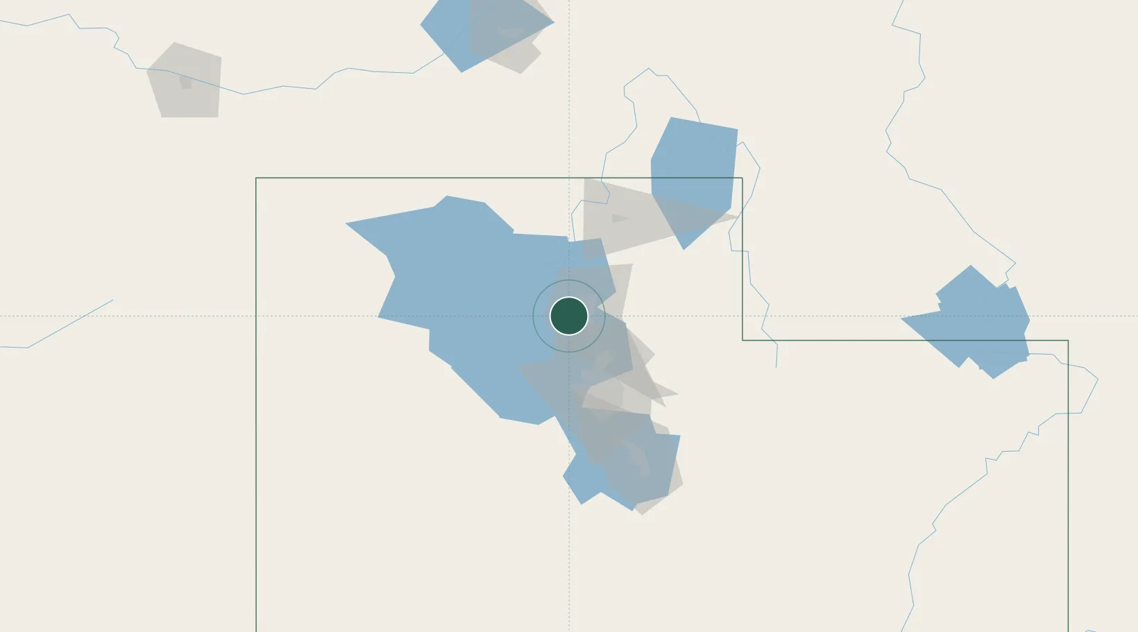
Region
Utah
Population
8,214
Time zone
America/Denver
Elevation
1,293 m
Location
Nearby Logistics Neighbours
Cities
- 1Sunset7 km
- 2Hill Air Force Base12 km
- 3Washington Terrace13 km
- 4South Ogden13 km
- 5Layton16 km
Ports
- 1Sacramento850 km
- 2Stockton863 km
- 3Courtland866 km
- 4Walnut Grove867 km
- 5Isleton876 km
Airports
Trade Zones
- 1FTZ No. 030 Salt Lake City43 km
- 2FTZ No. 280 Ada and Canyon Counties483 km
- 3FTZ No. 274 Butte-Silver Bow533 km
- 4FTZ No. 275 Lansing542 km
- 5FTZ No. 126 Sparks673 km
DatabookThe Record of Consolidated Knowledge
United States beyond logistics?