Transport Functions
Rail
Road
Multimodal
Hub Profile
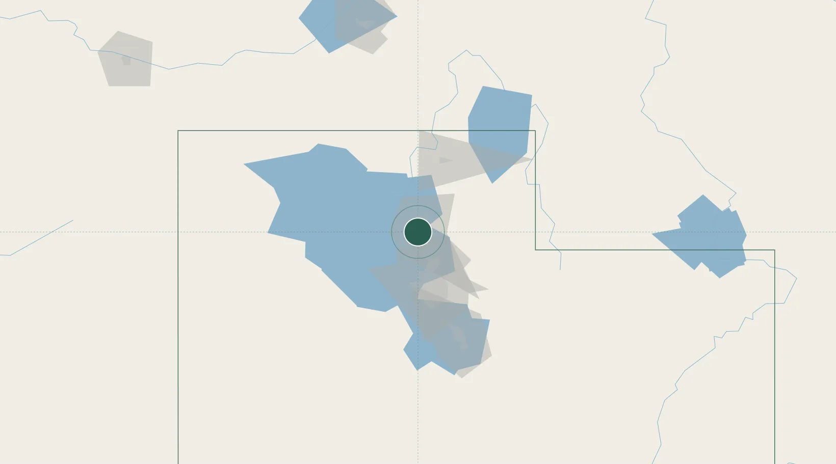
Place type
Populated place
Region
Utah
Population
5,183
Time zone
America/Denver
Elevation
1,375 m
Location
Nearby Logistics Neighbours
Cities
- 1Hill Air Force Base6 km
- 2Washington Terrace6 km
- 3South Ogden7 km
- 4Hooper7 km
- 5Layton11 km
Ports
- 1Sacramento856 km
- 2Stockton870 km
- 3Courtland873 km
- 4Walnut Grove873 km
- 5Isleton883 km
Airports
Trade Zones
- 1FTZ No. 030 Salt Lake City42 km
- 2FTZ No. 280 Ada and Canyon Counties489 km
- 3FTZ No. 274 Butte-Silver Bow534 km
- 4FTZ No. 275 Lansing542 km
- 5FTZ No. 126 Sparks680 km
DatabookThe Record of Consolidated Knowledge
United States beyond logistics?