UN/LOCODE hub · United States
USYIV
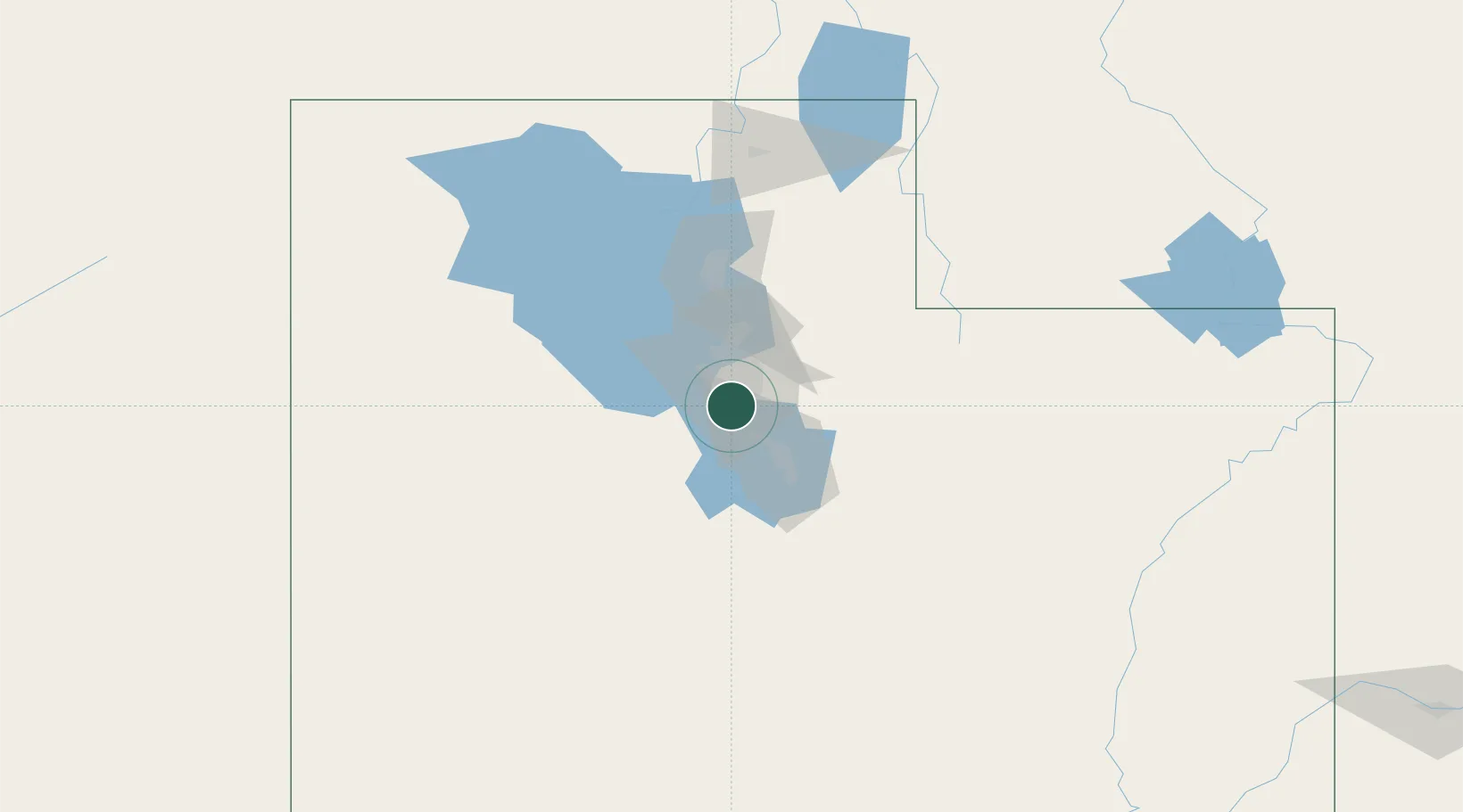
Riverton
40.5333°, -111.9333°
41,900
Population
2
Transport functions
Transport Functions
Road
Multimodal
Hub Profile
Place type
Populated place
Region
Utah
Population
41,900
Time zone
America/Denver
Elevation
1,353 m
Location
Nearby Logistics Neighbours
Cities
- 1South Jordan2 km
- 2Bluffdale6 km
- 3Draper6 km
- 4West Jordan9 km
- 5West Valley City19 km
Ports
- 1Sacramento848 km
- 2Stockton856 km
- 3Walnut Grove862 km
- 4Courtland862 km
- 5Isleton871 km
Airports
Trade Zones
- 1FTZ No. 030 Salt Lake City28 km
- 2FTZ No. 280 Ada and Canyon Counties537 km
- 3FTZ No. 298 Jefferson County583 km
- 4FTZ No. 123 Denver597 km
- 5FTZ No. 274 Butte-Silver Bow603 km
DatabookThe Record of Consolidated Knowledge
United States beyond logistics?