Transport Functions
Road
Multimodal
Hub Profile
Place type
Populated place
Region
Pennsylvania
Time zone
America/New_York
Elevation
309 m
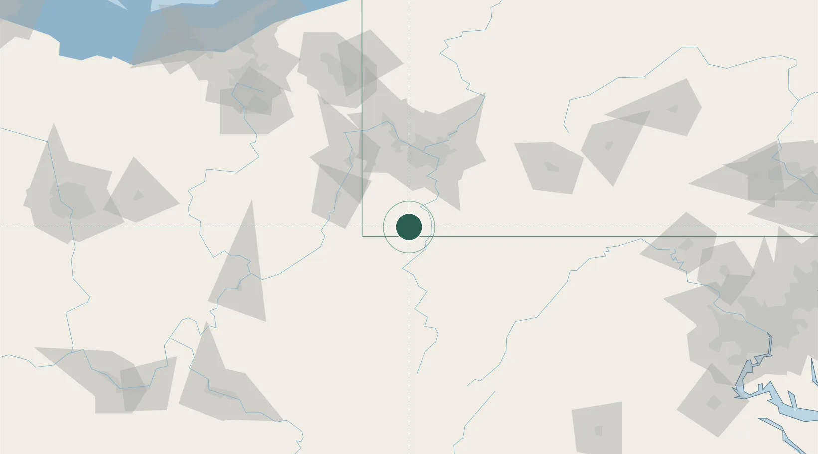
Location
Nearby Logistics Neighbours
Cities
- 1Point Marion21 km
- 2Smithfield26 km
- 3Brownsville31 km
- 4Coal Center35 km
- 5Point Lookout35 km
Airports
Trade Zones
- 1FTZ No. 033 Pittsburgh70 km
- 2FTZ No. 240 Martinsburg185 km
- 3FTZ No. 295 Central Pennsylvania187 km
- 4FTZ No. 181 Akron Canton188 km
- 5FTZ No. 229 Charleston213 km
DatabookThe Record of Consolidated Knowledge
United States beyond logistics?