UN/LOCODE hub · United States
USPEG
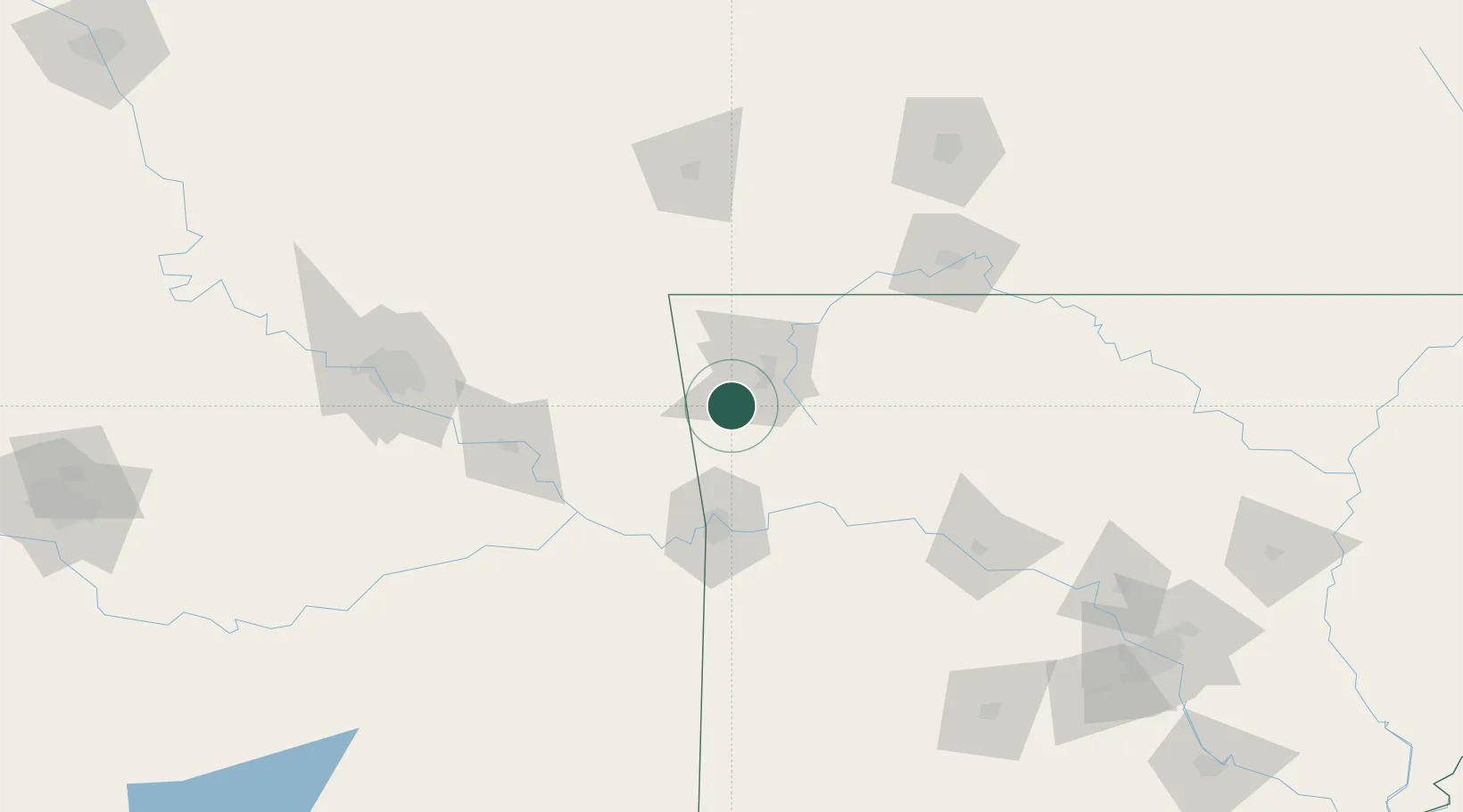
Prairie Grove
35.9667°, -94.3167°
5,186
Population
2
Transport functions
Transport Functions
Road
Multimodal
Hub Profile
Place type
Populated place
Region
Arkansas
Population
5,186
Time zone
America/Chicago
Elevation
355 m
Location
Nearby Logistics Neighbours
Ports
- 1Port Of Memphis389 km
- 2Lake Charles647 km
- 3Beaumont655 km
- 4Orange656 km
- 5Port Neches664 km
Airports
- 1Drake Field14 km
- 2Northwest Arkansas National Airport35 km
- 3Fort Smith Regional Airport70 km
- 4Boone County Airport109 km
- 5Branson Airport118 km
Trade Zones
- 1FTZ No. 164 Muskogee105 km
- 2FTZ No. 053 Rogers County144 km
- 3FTZ No. 225 Springfield172 km
- 4FTZ No. 014 Little Rock238 km
- 5FTZ No. 258 Bowie County279 km
DatabookThe Record of Consolidated Knowledge
United States beyond logistics?