Transport Functions
Port
Hub Profile
Place type
Populated place
Region
Arkansas
Population
8,549
Time zone
America/Chicago
Elevation
409 m
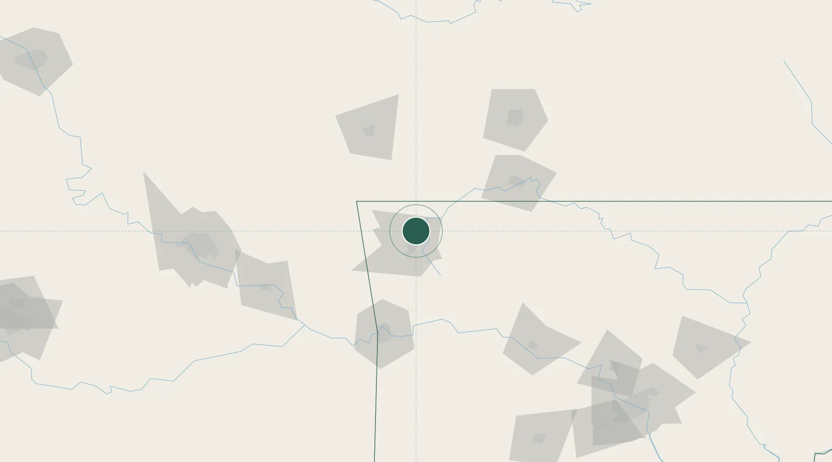
Location
Nearby Logistics Neighbours
Cities
- 1Johnson14 km
- 2Garfield24 km
- 3Gentry33 km
- 4Gravette35 km
- 5Prairie Grove36 km
Ports
- 1Port Of Memphis380 km
- 2Lake Charles676 km
- 3Beaumont686 km
- 4Orange687 km
- 5Port Neches695 km
Airports
- 1Northwest Arkansas National Airport17 km
- 2Drake Field28 km
- 3Boone County Airport86 km
- 4Branson Airport88 km
- 5Fort Smith Regional Airport104 km
Trade Zones
- 1FTZ No. 164 Muskogee132 km
- 2FTZ No. 225 Springfield136 km
- 3FTZ No. 053 Rogers County156 km
- 4FTZ No. 014 Little Rock244 km
- 5FTZ No. 015 Kansas City296 km
DatabookThe Record of Consolidated Knowledge
United States beyond logistics?