UN/LOCODE hub · United States
USZIY
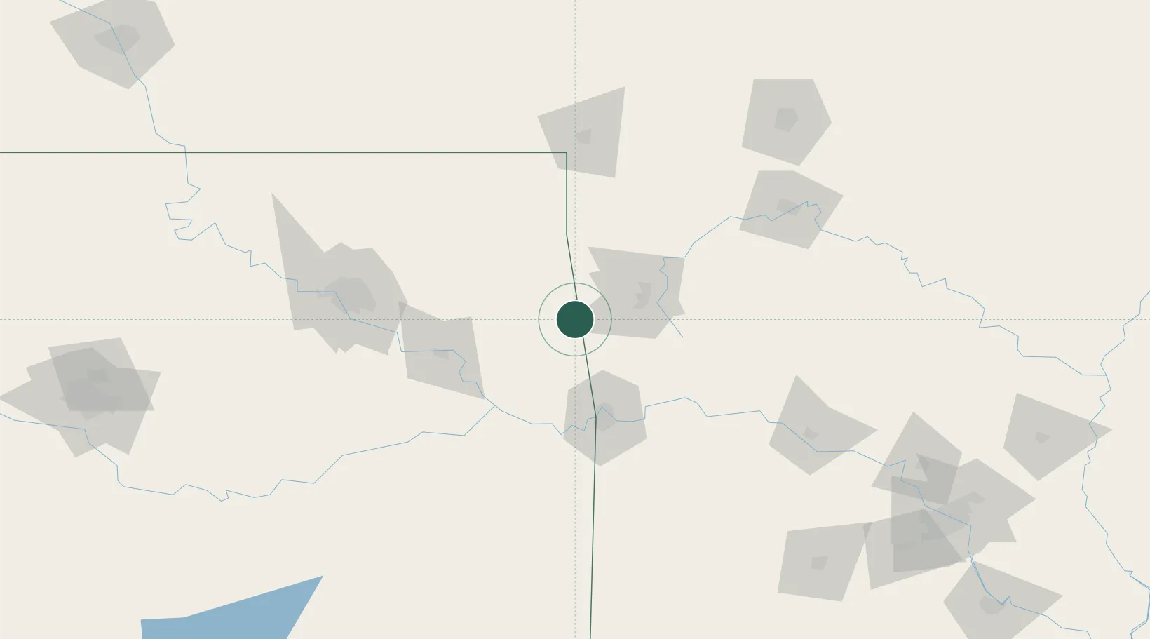
Westville
35.9833°, -94.5667°
1,567
Population
1
Transport functions
Transport Functions
Multimodal
Hub Profile
Place type
Populated place
Region
Oklahoma
Population
1,567
Time zone
America/Chicago
Elevation
343 m
Location
Nearby Logistics Neighbours
Cities
- 1Lincoln15 km
- 2Stilwell20 km
- 3Prairie Grove23 km
- 4Gentry32 km
- 5West Fork35 km
Ports
- 1Port Of Memphis411 km
- 2Lake Charles653 km
- 3Beaumont658 km
- 4Orange661 km
- 5Port Neches668 km
Airports
- 1Drake Field36 km
- 2Northwest Arkansas National Airport41 km
- 3Fort Smith Regional Airport74 km
- 4Tulsa International Airport121 km
- 5Tulsa Riverside Airport128 km
Trade Zones
- 1FTZ No. 164 Muskogee84 km
- 2FTZ No. 053 Rogers County122 km
- 3FTZ No. 225 Springfield185 km
- 4FTZ No. 014 Little Rock258 km
- 5FTZ No. 106 Oklahoma City273 km
DatabookThe Record of Consolidated Knowledge
United States beyond logistics?