UN/LOCODE hub · United States
USMJB
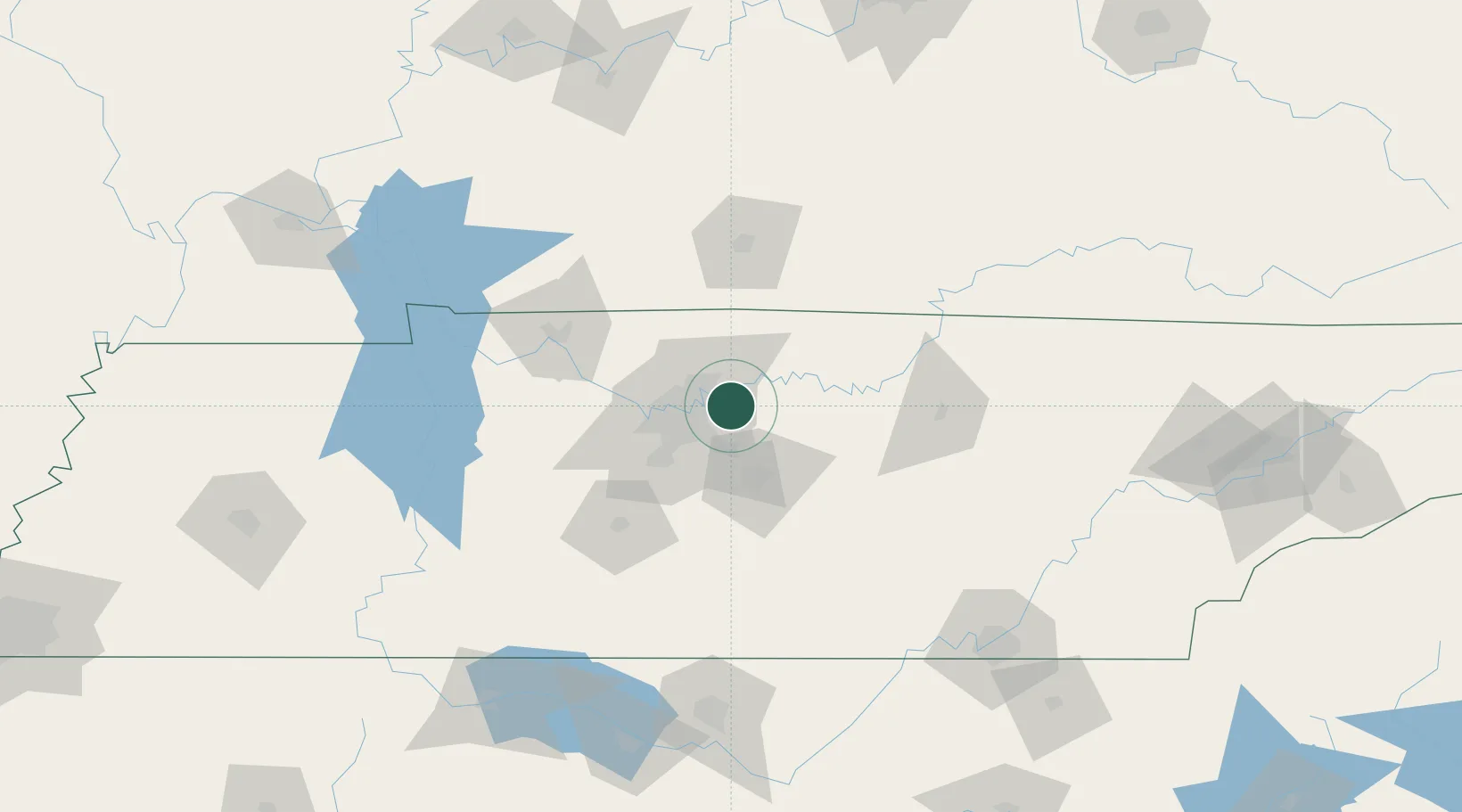
Mount Juliet
36.2000°, -86.5167°
31,540
Population
3
Transport functions
Transport Functions
Rail
Road
Multimodal
Hub Profile
Place type
Populated place
Region
Tennessee
Population
31,540
Time zone
America/Chicago
Elevation
168 m
Location
Nearby Logistics Neighbours
Cities
- 1Hermitage9 km
- 2Nashville21 km
- 3Cottontown28 km
- 4White House32 km
- 5Greenbrier, Robertson35 km
Ports
- 1Port Of Memphis353 km
- 2Gary606 km
- 3Indiana Harbor613 km
- 4Michigan City616 km
- 5Calumet Harbor621 km
Airports
Trade Zones
- 1FTZ No. 078 Nashville49 km
- 2FTZ No. 134 Chattanooga160 km
- 3FTZ No. 083 Huntsville174 km
- 4FTZ No. 265 Conroe (Montgomery County)176 km
- 5FTZ No. 270 Lawrence County177 km
DatabookThe Record of Consolidated Knowledge
United States beyond logistics?