Transport Functions
Port
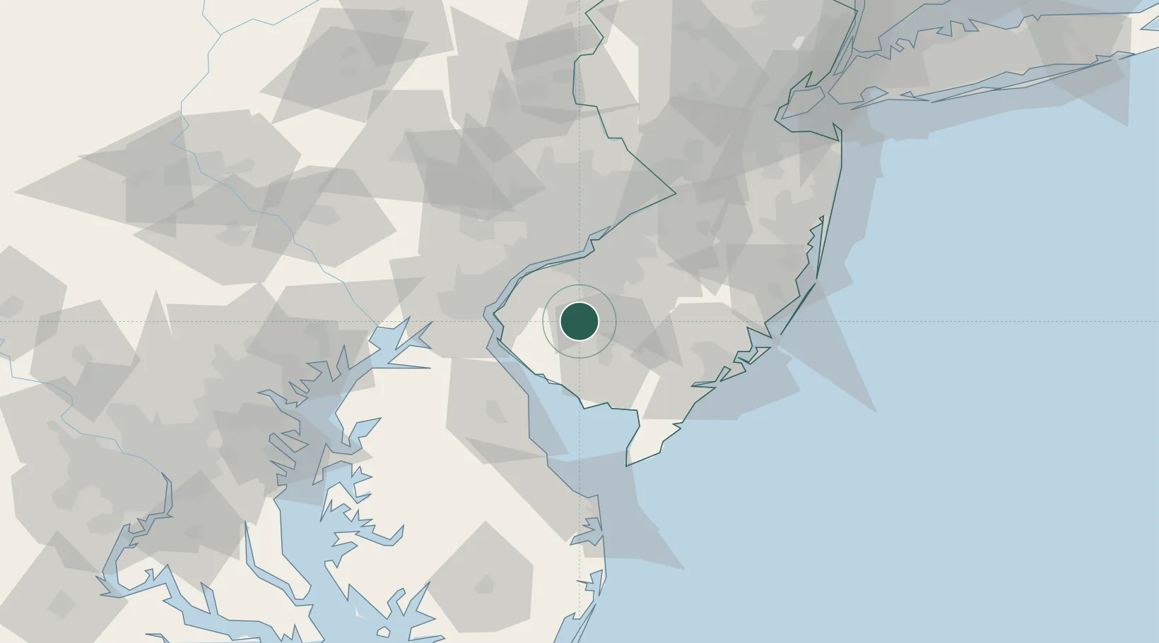
Hub Profile
Place type
Populated place
Region
New Jersey
Population
1,343
Time zone
America/New_York
Elevation
35 m
Location
Nearby Logistics Neighbours
Cities
- 1Pittsgrove6 km
- 2Deerfield9 km
- 3Aura10 km
- 4Woodstown15 km
- 5Richwood15 km
Ports
- 1Salem Nj29 km
- 2Paulsboro31 km
- 3Deepwater Point33 km
- 4Chester34 km
- 5Marcus Hook34 km
Airports
Trade Zones
- 1FTZ No. 142 Salem Millville22 km
- 2FTZ No. 099 Wilmington37 km
- 3FTZ No. 035 Philadelphia47 km
- 4FTZ No. 200 Mercer County82 km
- 5FTZ No. 235 Lakewood96 km
DatabookThe Record of Consolidated Knowledge
United States beyond logistics?