Transport Functions
Port
Road
Multimodal
Hub Profile
Place type
Urban district
Region
Illinois
Time zone
America/Chicago
Elevation
186 m
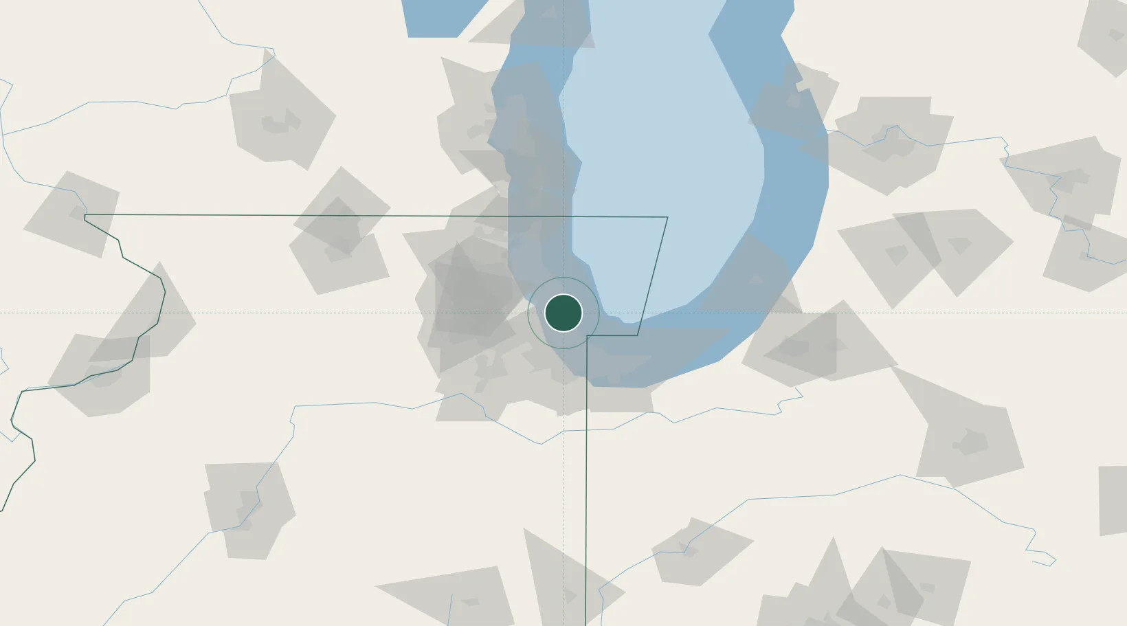
Location
Nearby Logistics Neighbours
Cities
- 1Lincoln Park, Chicago2 km
- 2Oak Park10 km
- 3Harwood Heights13 km
- 4Norridge14 km
- 5North Riverside14 km
Ports
- 1Chicago6 km
- 2Wilmette20 km
- 3Calumet Harbor22 km
- 4Indiana Harbor32 km
- 5Gary42 km
Airports
Trade Zones
- 1FTZ No. 022 Chicago19 km
- 2FTZ No. 292 Lake County50 km
- 3FTZ No. 152 Burns Harbor52 km
- 4FTZ No. 125 South Bend112 km
- 5FTZ No. 176 Rockford133 km
DatabookThe Record of Consolidated Knowledge
United States beyond logistics?