UN/LOCODE hub · United States
USNRU
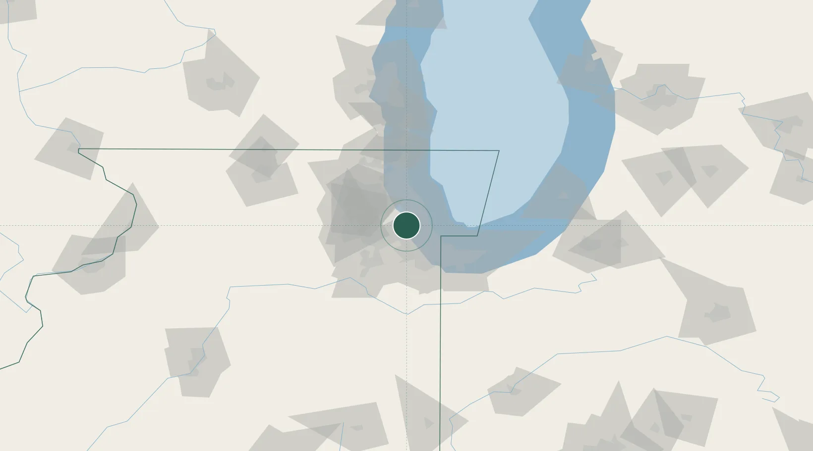
North Riverside
41.8500°, -87.8167°
6,665
Population
2
Transport functions
Transport Functions
Road
Multimodal
Hub Profile
Place type
Populated place
Region
Illinois
Population
6,665
Time zone
America/Chicago
Elevation
188 m
Location
Nearby Logistics Neighbours
Cities
- 1Stickney4 km
- 2La Grange Park5 km
- 3Oak Park5 km
- 4Brookfield5 km
- 5Westchester6 km
Ports
- 1Chicago18 km
- 2Calumet Harbor28 km
- 3Wilmette28 km
- 4Indiana Harbor38 km
- 5Gary48 km
Airports
Trade Zones
- 1FTZ No. 022 Chicago5 km
- 2FTZ No. 292 Lake County53 km
- 3FTZ No. 152 Burns Harbor60 km
- 4FTZ No. 176 Rockford123 km
- 5FTZ No. 125 South Bend124 km
DatabookThe Record of Consolidated Knowledge
United States beyond logistics?