UN/LOCODE hub · United States
USQOP
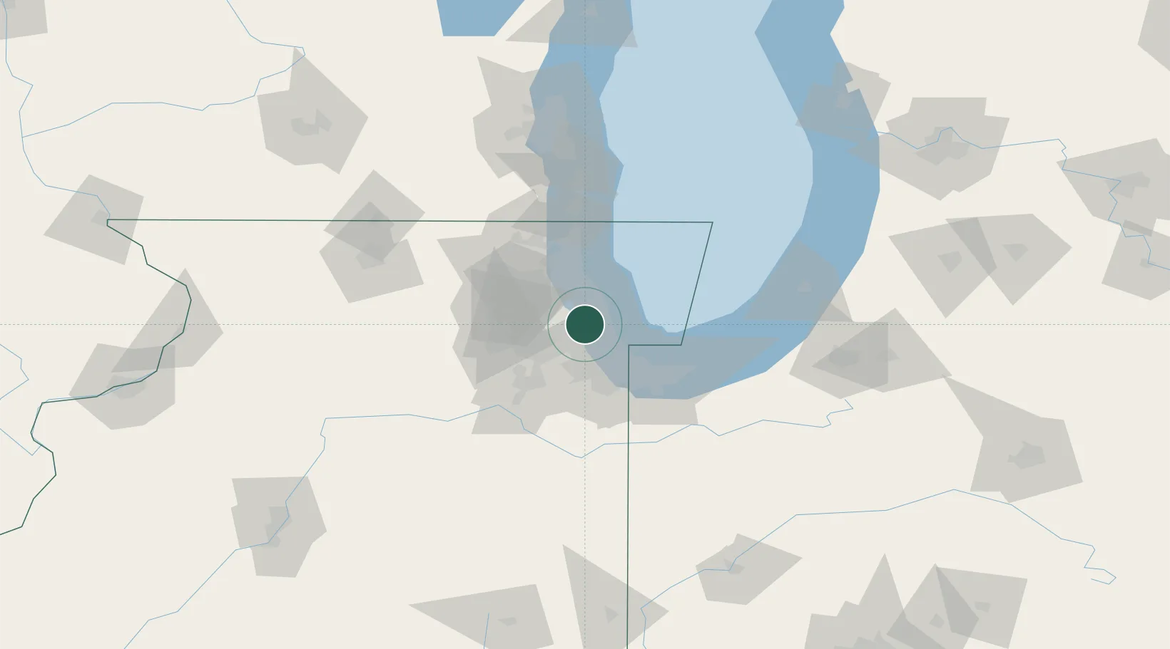
Oak Park
41.8833°, -87.7833°
52,287
Population
4
Transport functions
Transport Functions
Port
Rail
Road
Multimodal
Hub Profile
Place type
Populated place
Region
Illinois
Population
52,287
Time zone
America/Chicago
Elevation
189 m
Location
Nearby Logistics Neighbours
Cities
- 1North Riverside5 km
- 2River Grove6 km
- 3Stickney7 km
- 4Norridge8 km
- 5La Grange Park9 km
Ports
- 1Chicago15 km
- 2Wilmette24 km
- 3Calumet Harbor28 km
- 4Indiana Harbor38 km
- 5Great Lakes47 km
Airports
Trade Zones
- 1FTZ No. 022 Chicago9 km
- 2FTZ No. 292 Lake County50 km
- 3FTZ No. 152 Burns Harbor59 km
- 4FTZ No. 125 South Bend121 km
- 5FTZ No. 176 Rockford125 km
DatabookThe Record of Consolidated Knowledge
United States beyond logistics?