UN/LOCODE hub · United States
USHHT
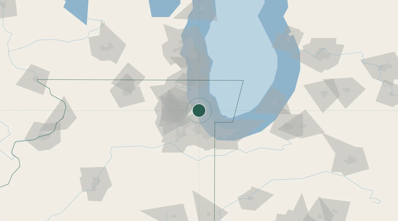
Harwood Heights
41.9667°, -87.8000°
8,635
Population
4
Transport functions
Transport Functions
Port
Rail
Road
Multimodal
Hub Profile
Place type
Populated place
Region
Illinois
Population
8,635
Time zone
America/Chicago
Elevation
198 m
Location
Nearby Logistics Neighbours
Cities
- 1Norridge2 km
- 2River Grove6 km
- 3Park Ridge9 km
- 4Oak Park9 km
- 5North Riverside13 km
Ports
- 1Wilmette16 km
- 2Chicago19 km
- 3Calumet Harbor35 km
- 4Great Lakes37 km
- 5Waukegan45 km
Airports
Trade Zones
- 1FTZ No. 022 Chicago16 km
- 2FTZ No. 292 Lake County40 km
- 3FTZ No. 152 Burns Harbor65 km
- 4FTZ No. 176 Rockford120 km
- 5FTZ No. 041 Milwaukee124 km
DatabookThe Record of Consolidated Knowledge
United States beyond logistics?