Transport Functions
Port
Rail
Road
Multimodal
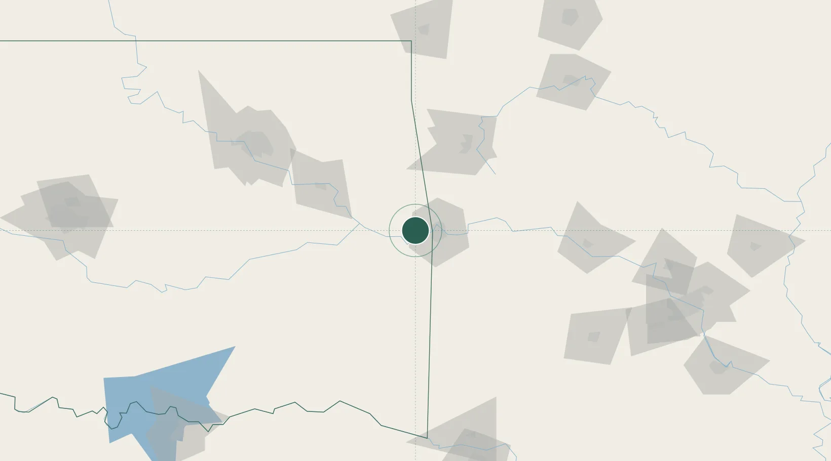
Hub Profile
Place type
Populated place
Region
Oklahoma
Population
3,282
Time zone
America/Chicago
Elevation
154 m
Location
Nearby Logistics Neighbours
Cities
- 1Barling27 km
- 2Cameron30 km
- 3Greenwood, Sebastian37 km
- 4Lavaca39 km
- 5Keota40 km
Ports
- 1Port Of Memphis403 km
- 2Lake Charles590 km
- 3Beaumont593 km
- 4Orange597 km
- 5Port Neches603 km
Airports
- 1Fort Smith Regional Airport21 km
- 2Drake Field77 km
- 3Northwest Arkansas National Airport101 km
- 4Mc Alester Regional Airport123 km
- 5Tulsa Riverside Airport145 km
Trade Zones
- 1FTZ No. 164 Muskogee86 km
- 2FTZ No. 053 Rogers County155 km
- 3FTZ No. 258 Bowie County214 km
- 4FTZ No. 227 Durant227 km
- 5FTZ No. 014 Little Rock231 km
DatabookThe Record of Consolidated Knowledge
United States beyond logistics?