Transport Functions
Rail
Road
Hub Profile
Place type
Populated place
Region
Minnesota
Population
2,885
Time zone
America/Chicago
Elevation
390 m
Logistics facilities
1
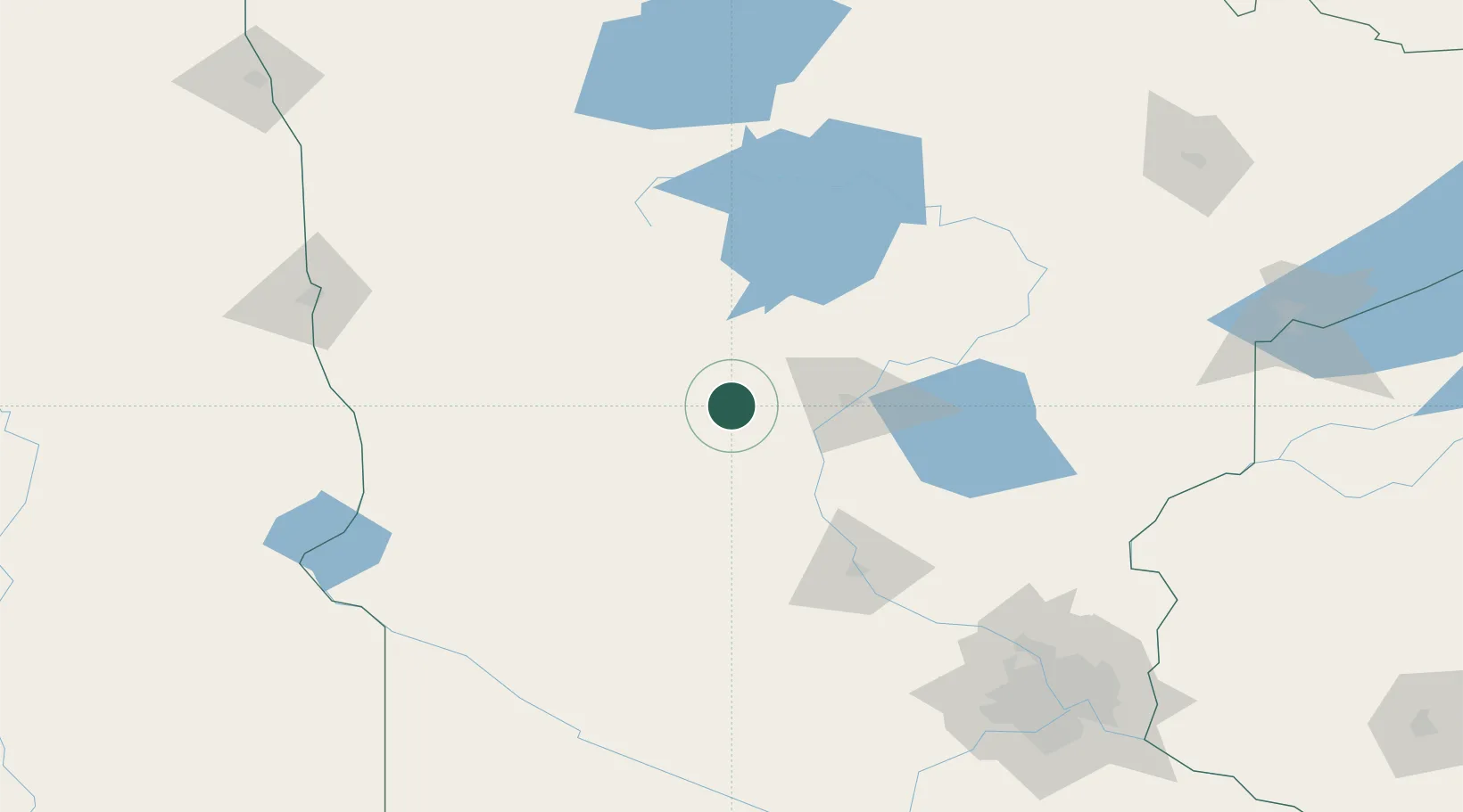
Location
Nearby Logistics Neighbours
Cities
- 1Pillager25 km
- 2Freeport34 km
- 3Pequot Lakes44 km
- 4Little Falls55 km
- 5Hackensack68 km
Ports
- 1Duluth211 km
- 2Superior213 km
- 3Two Harbors251 km
- 4Washburn301 km
- 5Ashland302 km
Airports
- 1Brainerd Lakes Regional Airport51 km
- 2Chandler Field71 km
- 3Saint Cloud Regional Airport106 km
- 4Bemidji Regional Airport129 km
- 5Hector International Airport167 km
Trade Zones
- 1FTZ No. 267 Fargo175 km
- 2FTZ No. 119 Minneapolis-St. Paul196 km
- 3FTZ No. 051 Duluth200 km
- 4FTZ No. 259 Koochiching County217 km
- 5FTZ No. 103 Grand Forks250 km
DatabookThe Record of Consolidated Knowledge
United States beyond logistics?