UN/LOCODE hub · United States
USHS2
Hackensack
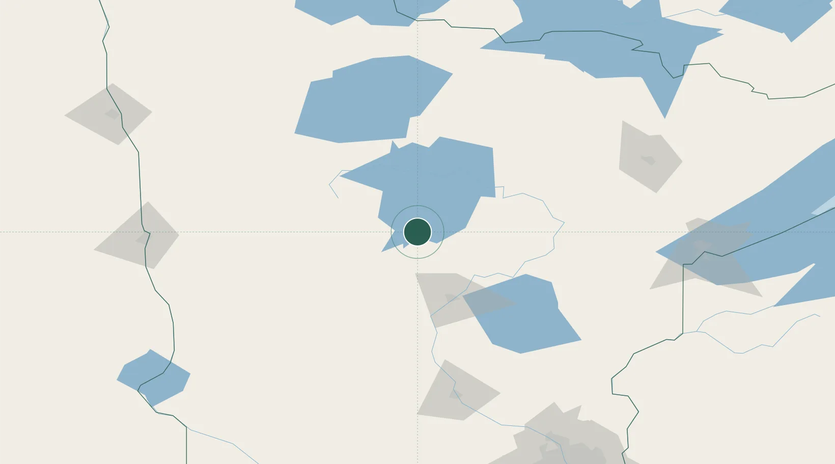
46.9333°, -94.5167°
313
Population
3
Transport functions
Transport Functions
Port
Rail
Road
Hub Profile
Place type
Populated place
Region
Minnesota
Population
313
Time zone
America/Chicago
Elevation
424 m
Location
Nearby Logistics Neighbours
Cities
- 1Walker19 km
- 2Freeport34 km
- 3Pequot Lakes46 km
- 4Ponsford66 km
- 5Pillager67 km
Ports
- 1Duluth185 km
- 2Superior188 km
- 3Two Harbors218 km
- 4Washburn278 km
- 5Ashland280 km
Airports
- 1Brainerd Lakes Regional Airport66 km
- 2Bemidji Regional Airport71 km
- 3Chandler Field136 km
- 4Range Regional Airport137 km
- 5Saint Cloud Regional Airport158 km
Trade Zones
- 1FTZ No. 259 Koochiching County150 km
- 2FTZ No. 051 Duluth173 km
- 3FTZ No. 267 Fargo187 km
- 4FTZ No. 103 Grand Forks228 km
- 5FTZ No. 119 Minneapolis-St. Paul240 km
DatabookThe Record of Consolidated Knowledge
United States beyond logistics?