Transport Functions
Port
Rail
Road
Hub Profile
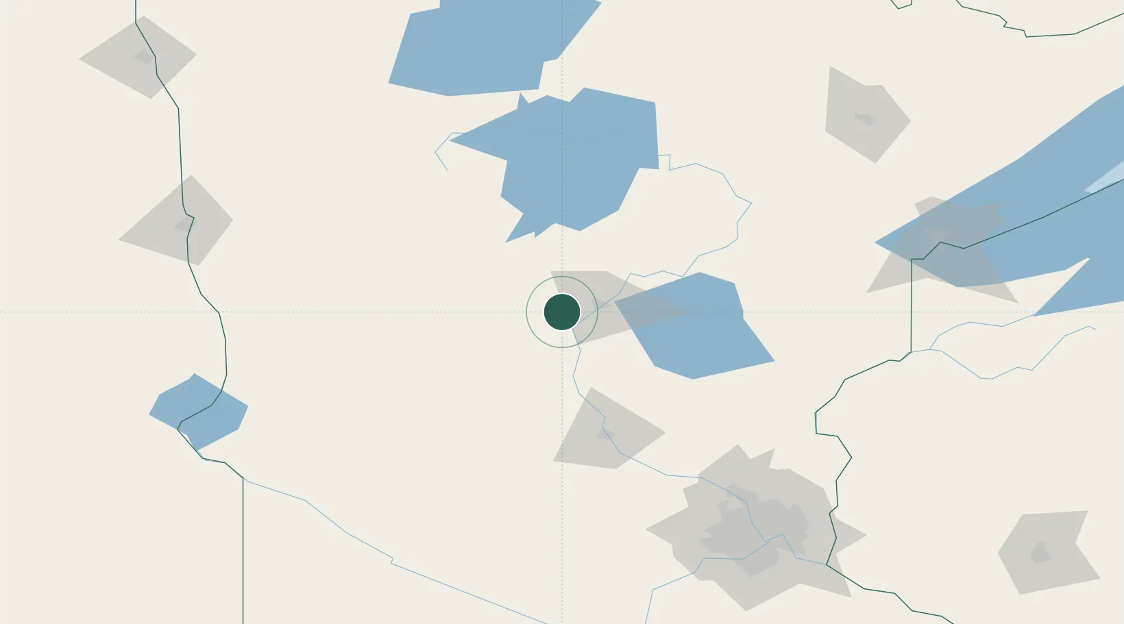
Place type
Populated place
Region
Minnesota
Population
453
Time zone
America/Chicago
Elevation
369 m
Location
Nearby Logistics Neighbours
Cities
- 1Staples25 km
- 2Pequot Lakes27 km
- 3Freeport39 km
- 4Little Falls42 km
- 5Deerwood47 km
Ports
- 1Duluth187 km
- 2Superior189 km
- 3Two Harbors228 km
- 4Washburn277 km
- 5Ashland277 km
Airports
- 1Brainerd Lakes Regional Airport27 km
- 2Chandler Field88 km
- 3Saint Cloud Regional Airport93 km
- 4Bemidji Regional Airport136 km
- 5Hutchinson Health Heliport162 km
Trade Zones
- 1FTZ No. 051 Duluth176 km
- 2FTZ No. 119 Minneapolis-St. Paul179 km
- 3FTZ No. 267 Fargo200 km
- 4FTZ No. 259 Koochiching County217 km
- 5FTZ No. 103 Grand Forks270 km
DatabookThe Record of Consolidated Knowledge
United States beyond logistics?