Transport Functions
Rail
Road
Multimodal
Hub Profile
Place type
Populated place
Region
Minnesota
Population
659
Time zone
America/Chicago
Elevation
379 m
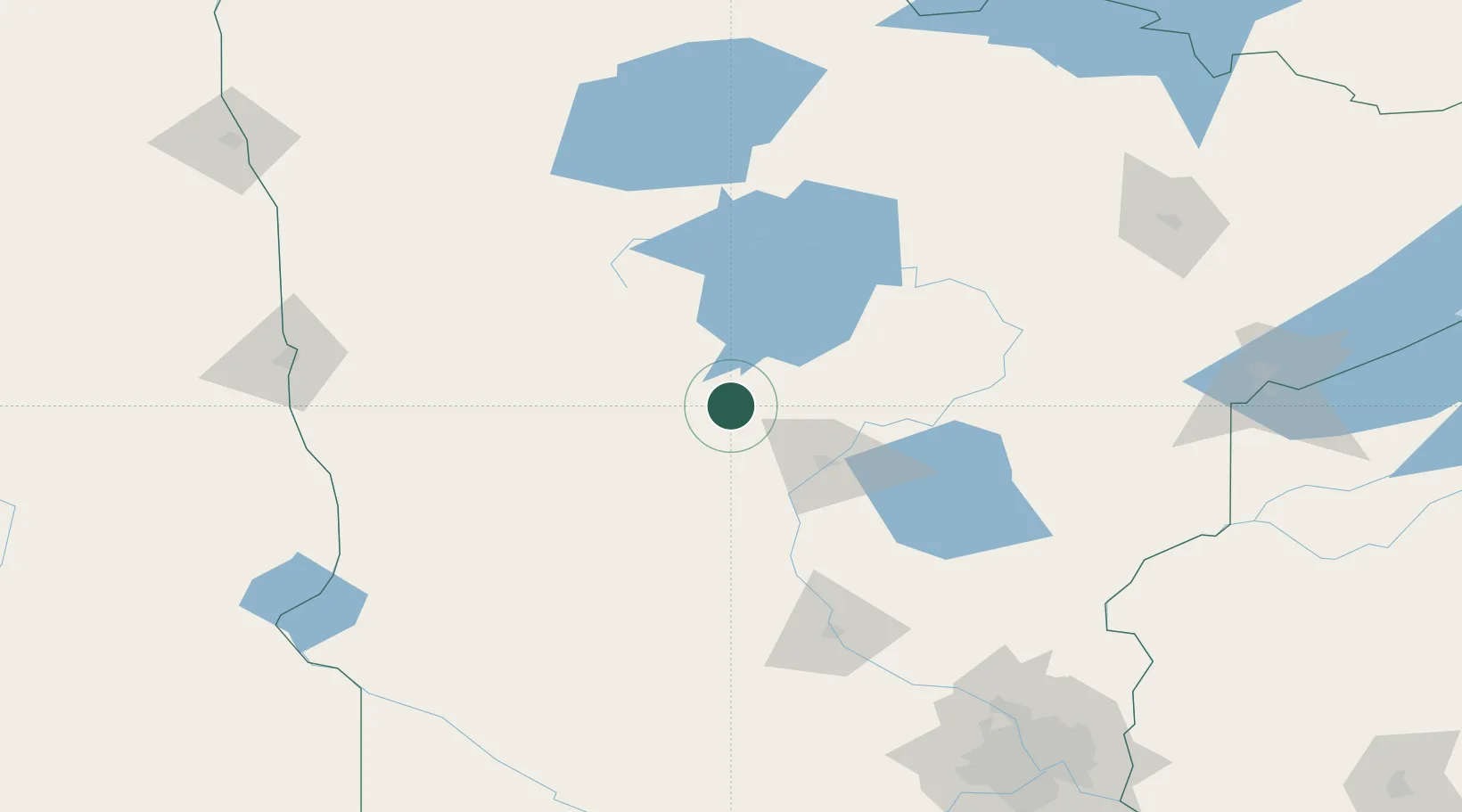
Location
Nearby Logistics Neighbours
Cities
- 1Pequot Lakes31 km
- 2Staples34 km
- 3Hackensack34 km
- 4Pillager39 km
- 5Walker51 km
Ports
- 1Duluth197 km
- 2Superior200 km
- 3Two Harbors234 km
- 4Washburn290 km
- 5Ashland292 km
Airports
- 1Brainerd Lakes Regional Airport51 km
- 2Bemidji Regional Airport97 km
- 3Chandler Field103 km
- 4Saint Cloud Regional Airport132 km
- 5Range Regional Airport162 km
Trade Zones
- 1FTZ No. 267 Fargo176 km
- 2FTZ No. 259 Koochiching County183 km
- 3FTZ No. 051 Duluth186 km
- 4FTZ No. 119 Minneapolis-St. Paul218 km
- 5FTZ No. 103 Grand Forks235 km
DatabookThe Record of Consolidated Knowledge
United States beyond logistics?