UN/LOCODE hub · United States
USVSP
Cave Spring
34.1000°, -85.3333°
1,175
Population
2
Transport functions
Transport Functions
Rail
Road
Hub Profile
Place type
Populated place
Region
Georgia
Population
1,175
Time zone
America/New_York
Elevation
195 m
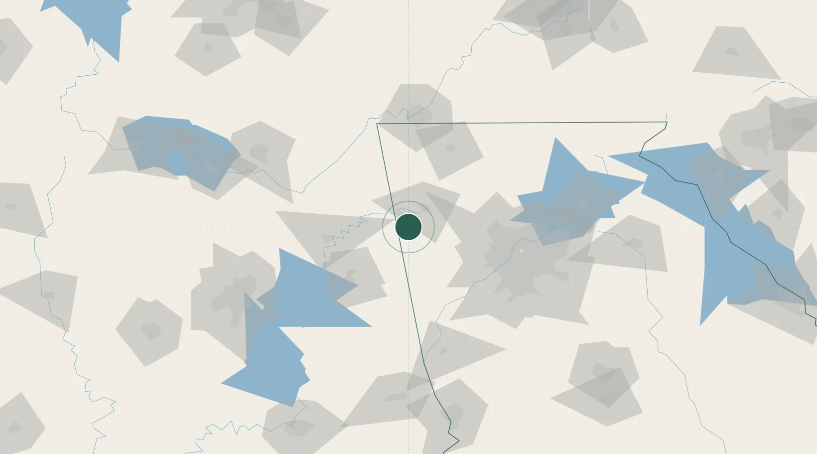
Location
Nearby Logistics Neighbours
Cities
- 1Glenwood16 km
- 2Cedar Bluff27 km
- 3Rockmart30 km
- 4Piedmont32 km
- 5Taylorsville32 km
Ports
- 1Panama City442 km
- 2Pensacola448 km
- 3Savannah455 km
- 4Mobile461 km
- 5Beaufort472 km
Airports
Trade Zones
- 1FTZ No. 026 Atlanta95 km
- 2FTZ No. 134 Chattanooga111 km
- 3FTZ No. 083 Huntsville145 km
- 4FTZ No. 098 Birmingham151 km
- 5FTZ No. 270 Lawrence County157 km
DatabookThe Record of Consolidated Knowledge
United States beyond logistics?