Transport Functions
Port
Multimodal
Hub Profile
Place type
Populated place
Region
Georgia
Time zone
America/New_York
Elevation
186 m
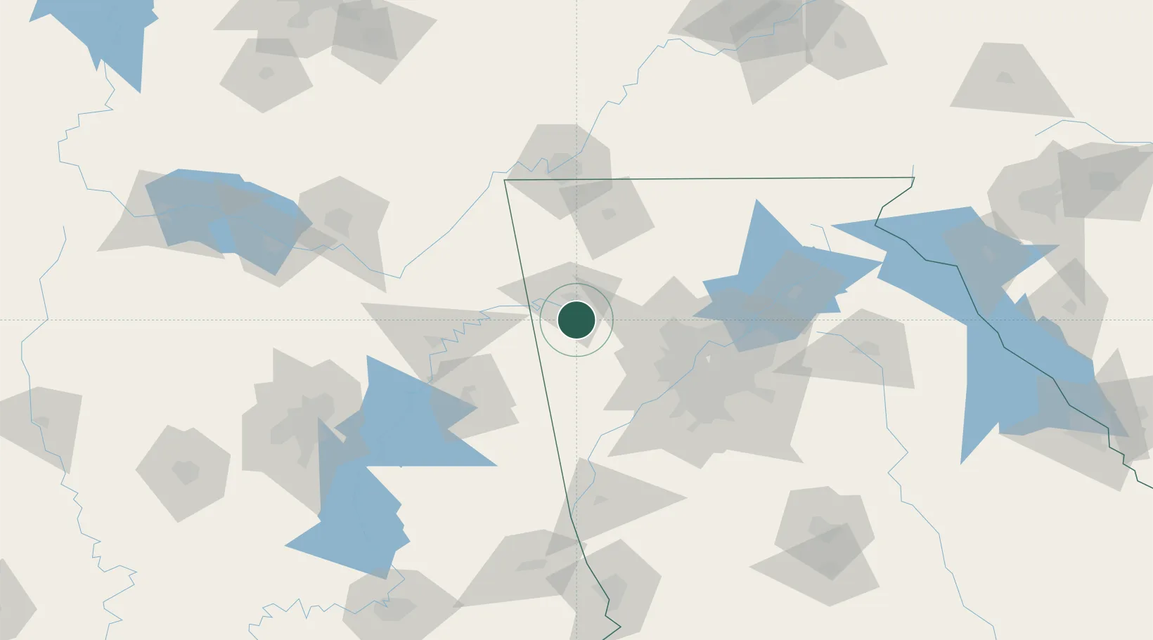
Location
Nearby Logistics Neighbours
Cities
- 1Cave Spring16 km
- 2Taylorsville18 km
- 3Rockmart19 km
- 4Lyerly37 km
- 5Summerville40 km
Ports
- 1Savannah443 km
- 2Panama City447 km
- 3Pensacola458 km
- 4Beaufort459 km
- 5Port Royal461 km
Airports
Trade Zones
- 1FTZ No. 026 Atlanta83 km
- 2FTZ No. 134 Chattanooga109 km
- 3FTZ No. 083 Huntsville158 km
- 4FTZ No. 098 Birmingham167 km
- 5FTZ No. 270 Lawrence County170 km
DatabookThe Record of Consolidated Knowledge
United States beyond logistics?