Transport Functions
Port
Rail
Road
Hub Profile
Place type
Populated place
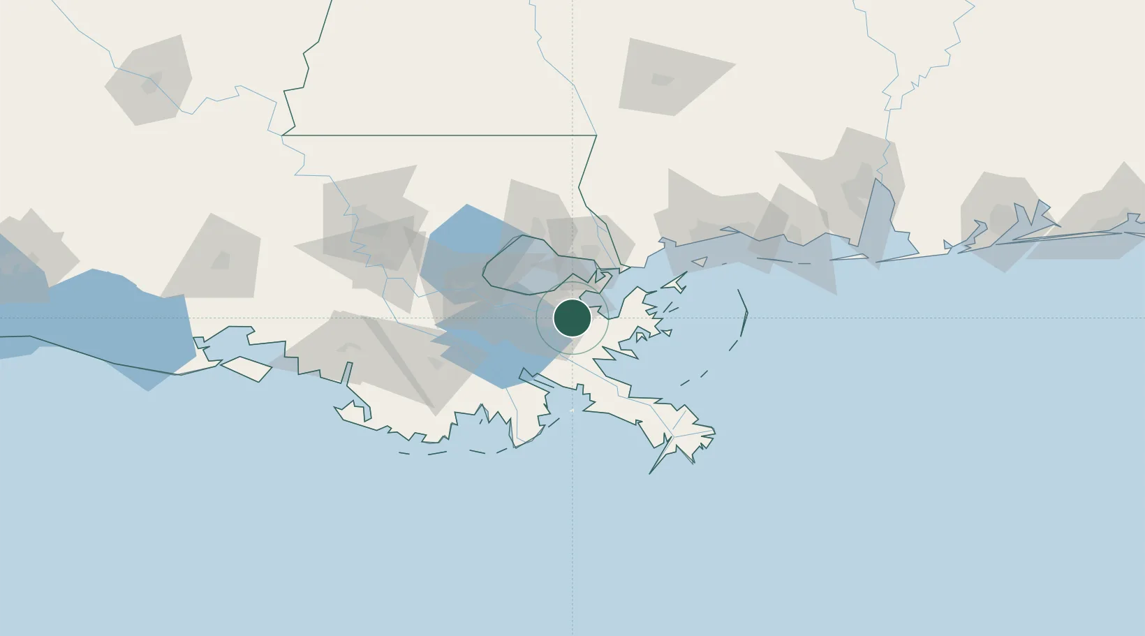
Region
Louisiana
Population
4,973
Time zone
America/Chicago
Elevation
1 m
Location
Nearby Logistics Neighbours
Cities
- 1Meraux6 km
- 2Terrytown13 km
- 3Chalmette16 km
- 4Destrehan18 km
- 5Wills Point19 km
Ports
- 1New Orleans18 km
- 2Gretna18 km
- 3St Rose42 km
- 4Slidell44 km
- 5Destrehan47 km
Airports
Trade Zones
- 1FTZ No. 002 New Orleans18 km
- 2FTZ No. 124 Gramercy82 km
- 3FTZ No. 092 Harrison County106 km
- 4FTZ No. 279 Terrebonne Parish134 km
- 5FTZ No. 154 Baton Rouge145 km
DatabookThe Record of Consolidated Knowledge
United States beyond logistics?