Transport Functions
Port
Road
Multimodal
Hub Profile
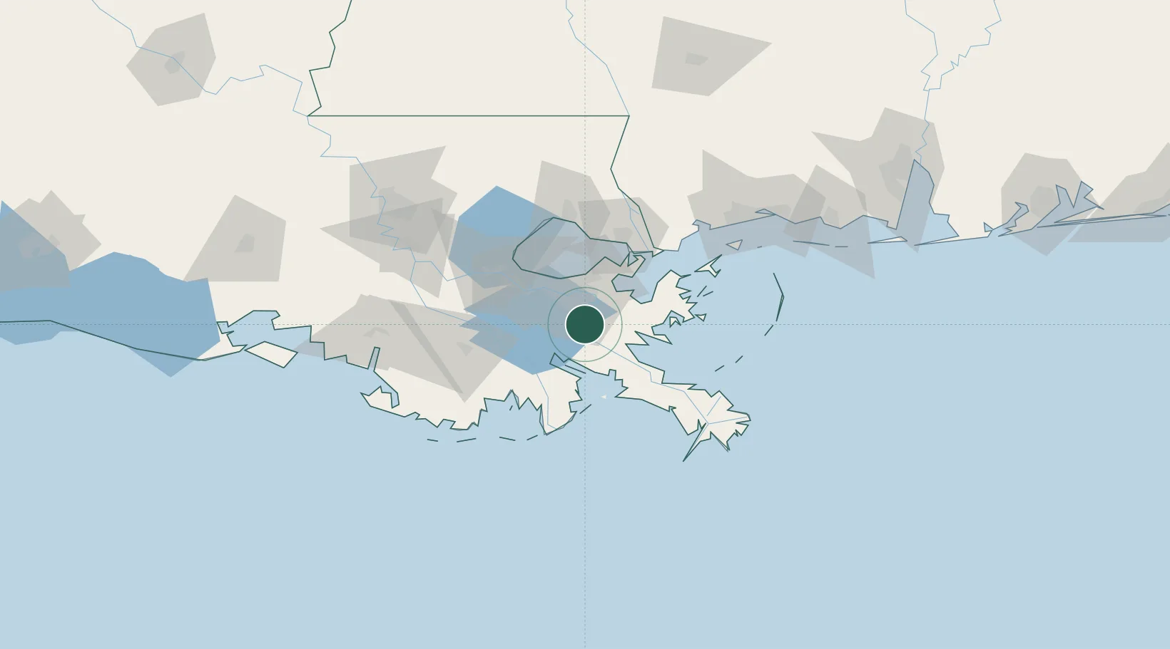
Place type
Populated place
Region
Louisiana
Time zone
America/Chicago
Elevation
2 m
Location
Nearby Logistics Neighbours
Ports
- 1Gretna20 km
- 2New Orleans23 km
- 3St Rose38 km
- 4Destrehan42 km
- 5Port Sulphur43 km
Airports
Trade Zones
- 1FTZ No. 002 New Orleans22 km
- 2FTZ No. 124 Gramercy77 km
- 3FTZ No. 279 Terrebonne Parish118 km
- 4FTZ No. 092 Harrison County124 km
- 5FTZ No. 154 Baton Rouge143 km
DatabookThe Record of Consolidated Knowledge
United States beyond logistics?