UN/LOCODE hub · United States
USVKB
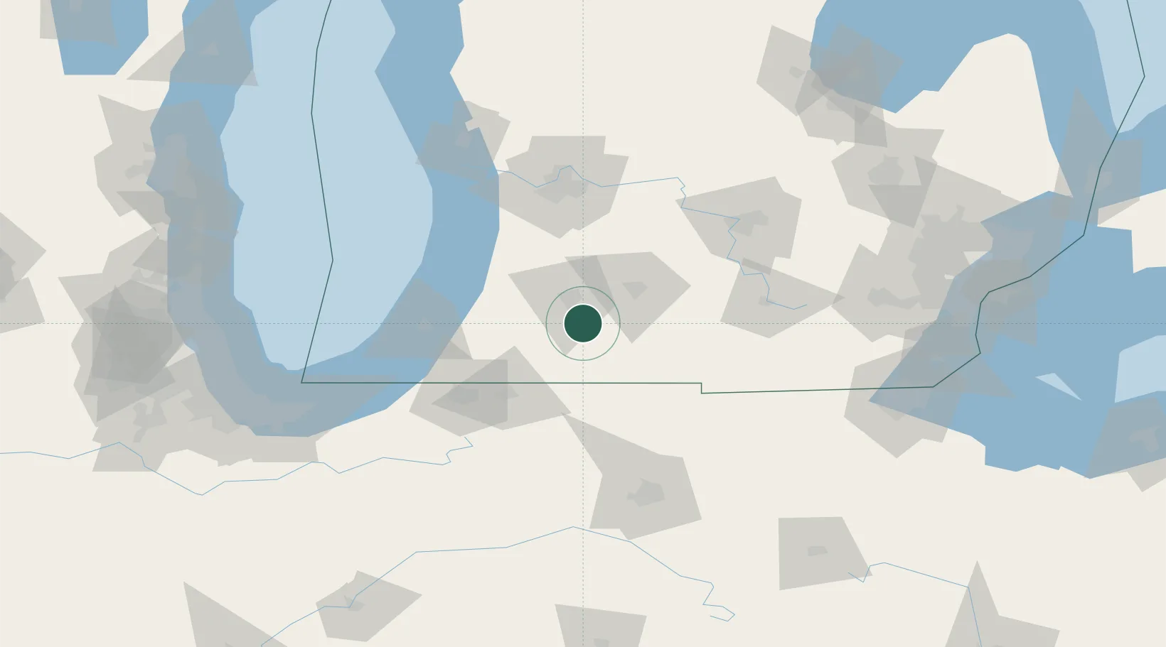
Vicksburg
42.1167°, -85.5167°
3,230
Population
2
Transport functions
Transport Functions
Port
Multimodal
Hub Profile
Place type
Populated place
Region
Michigan
Population
3,230
Time zone
America/Detroit
Elevation
260 m
Location
Nearby Logistics Neighbours
Cities
- 1Centreville22 km
- 2Athens24 km
- 3Lawton27 km
- 4Mendon30 km
- 5Springfield, Calhoun32 km
Ports
- 1South Haven71 km
- 2St Joseph80 km
- 3Holland90 km
- 4Grand Haven121 km
- 5Michigan City122 km
Airports
Trade Zones
DatabookThe Record of Consolidated Knowledge
United States beyond logistics?