Transport Functions
Port
Multimodal
Hub Profile
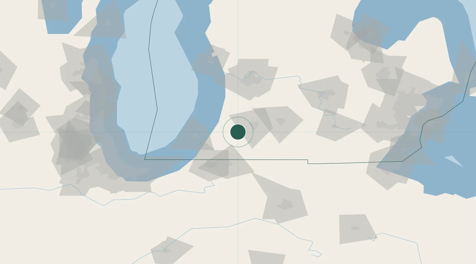
Place type
Populated place
Region
Michigan
Population
1,866
Time zone
America/Detroit
Elevation
241 m
Location
Nearby Logistics Neighbours
Cities
- 1Gobles21 km
- 2Vicksburg27 km
- 3Grand Junction32 km
- 4Cassopolis33 km
- 5Centreville38 km
Ports
- 1South Haven45 km
- 2St Joseph54 km
- 3Holland73 km
- 4Michigan City101 km
- 5Grand Haven105 km
Airports
Trade Zones
DatabookThe Record of Consolidated Knowledge
United States beyond logistics?