UN/LOCODE hub · United States
USNRV
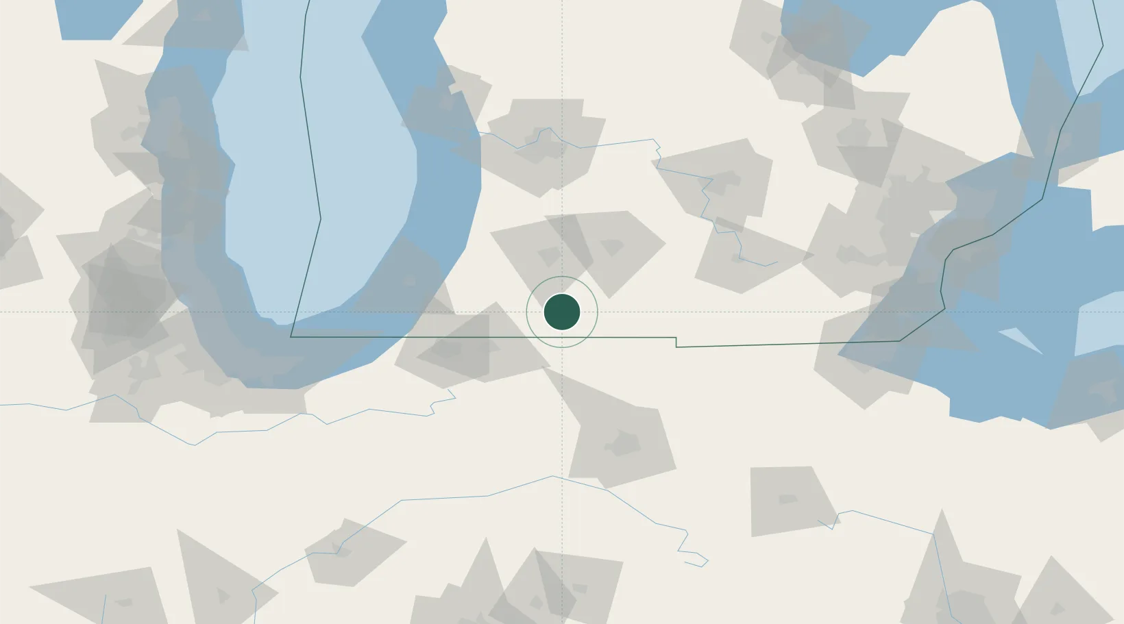
Centreville
41.9167°, -85.5167°
1,415
Population
2
Transport functions
Transport Functions
Road
Multimodal
Hub Profile
Place type
Provincial seat
Region
Michigan
Population
1,415
Time zone
America/Detroit
Elevation
250 m
Location
Nearby Logistics Neighbours
Cities
- 1Constantine17 km
- 2Vicksburg22 km
- 3Mottville23 km
- 4Athens30 km
- 5Orland35 km
Ports
- 1St Joseph83 km
- 2South Haven83 km
- 3Holland109 km
- 4Michigan City116 km
- 5Grand Haven141 km
Airports
Trade Zones
- 1FTZ No. 043 Battle Creek51 km
- 2FTZ No. 125 South Bend74 km
- 3FTZ No. 182 Fort Wayne95 km
- 4FTZ No. 101 Clinton County131 km
- 5FTZ No. 152 Burns Harbor140 km
DatabookThe Record of Consolidated Knowledge
United States beyond logistics?