Transport Functions
Rail
Road
Multimodal
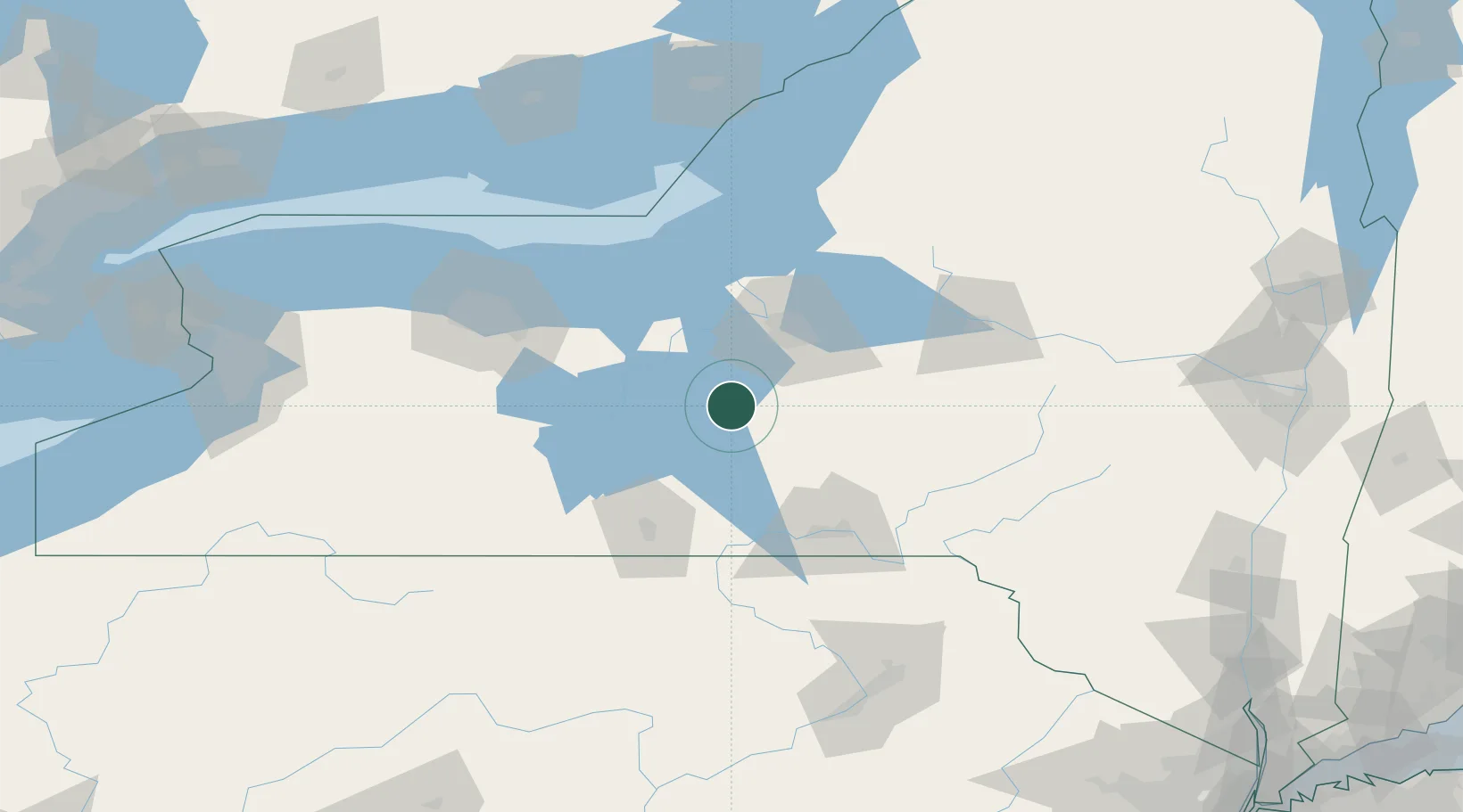
Hub Profile
Place type
Populated place
Region
New York
Population
1,236
Time zone
America/New_York
Elevation
224 m
Location
Nearby Logistics Neighbours
Cities
- 1Groton16 km
- 2Pleasant Valley19 km
- 3Homer24 km
- 4Skaneateles24 km
- 5Baltimore26 km
Ports
- 1Sodus Bay76 km
- 2Oswego84 km
- 3Rochester113 km
- 4Picton155 km
- 5Wolfe Island165 km
Airports
Trade Zones
- 1FTZ No. 172 Oneida County66 km
- 2FTZ No. 090 Onondaga82 km
- 3FTZ No. 289 Ontario County93 km
- 4FTZ No. 141 Monroe County140 km
- 5FTZ No. 109 Watertown148 km
DatabookThe Record of Consolidated Knowledge
United States beyond logistics?