Seaport · Canada

PictonCAPIC

44.0167°, -77.1333°
1.8 m
Channel depth
9.1
Port liner connectivity

Channel & Berth Profile

SEA LEVEL (CD)CHANNEL BEDChannel · 1.8 mCargo pier · 1.8 mAnchorage · 3.4 m
NGA World Port Index

Pilotage, Tugs & Services

Pilotage compulsoryYES
Tug assistanceNO
Salvage tugsNO
Shore powerYES
Potable waterYES
Diesel bunkersYES
MedicalYES
NGA World Port Index

Facilities & Capabilities

Container
Ro-Ro
Liquid bulk
Dry bulk
Oil terminal
Break bulk
Dry dock
Repairs
BunkeringYES
Rail linkYES
Dangerous cargo
ISPS security
NGA World Port Index

Harbour Specifications

Harbour size
Very Small
NGA World Port Index
Harbour type
Coastal (Natural)
NGA World Port Index
Shelter
Excellent
NGA World Port Index
Water body
Lake Ontario; Great Lakes
NGA World Port Index
Overhead limit
No
NGA World Port Index
Pilotage
Yes
NGA World Port Index

Liner Connectivity

9.1
PLSCI

Port Liner Shipping Connectivity Index for Picton, as published by UNCTAD for the latest available quarter. Higher values indicate stronger scheduled liner-shipping integration.

Shown relative to the highest per-port PLSCI in the dataset (1,657.9).
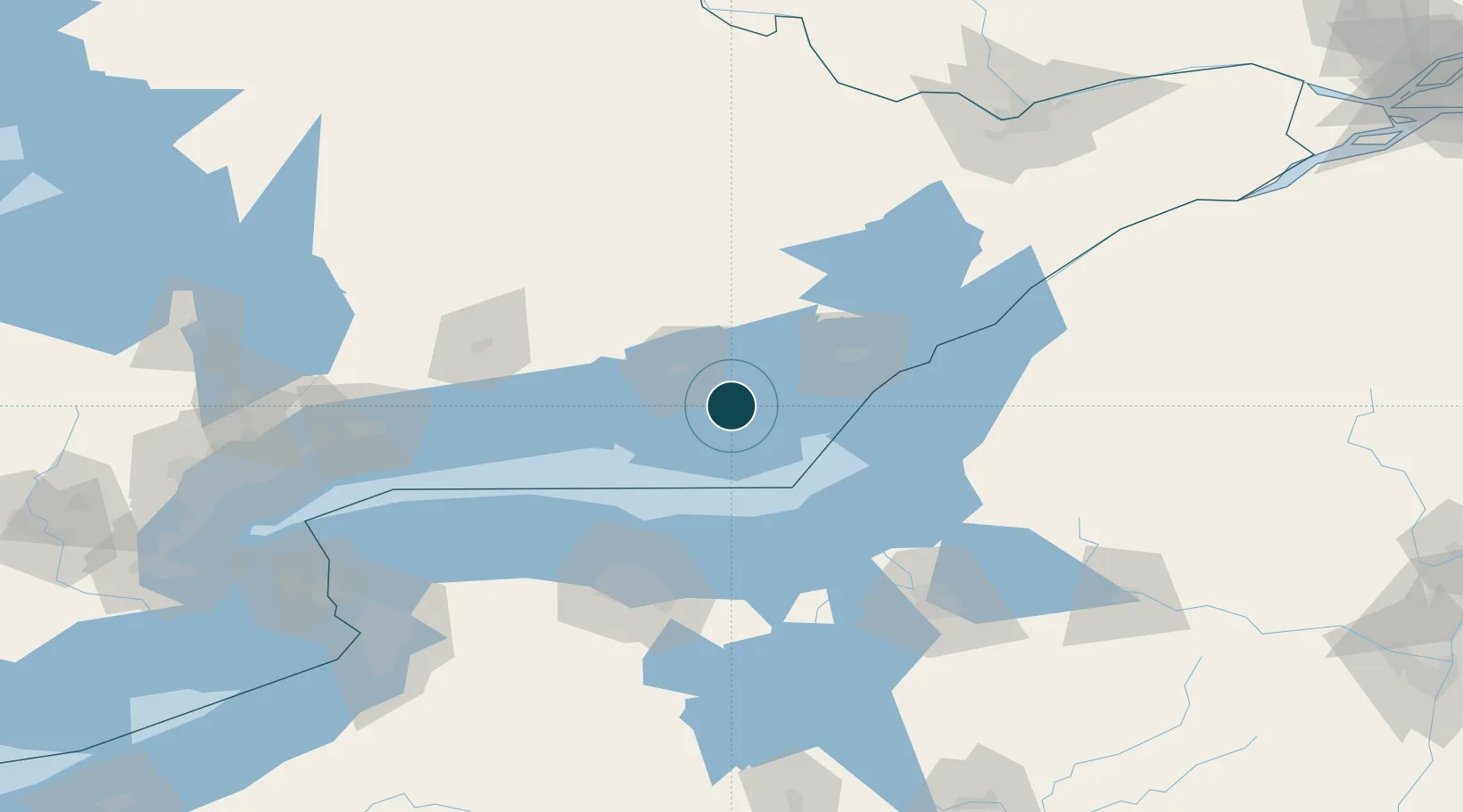
UNCTAD · Port Liner Shipping Connectivity Index

Location

Location of CAPIC
Natural Earth 10m (public domain) · Ontario · CAPIC · 44.02, -77.13GoogleOSMYandex

Nearby Logistics Neighbours

Ports
  1. 1Belleville26 km
  2. 2Trenton36 km
  3. 3Millhaven38 km
  4. 4Kingston56 km
  5. 5Wolfe Island60 km
Nearest neighbours — logibook spatial index (haversine) over the source coordinates
Cities
  1. 1Wellington19 km
  2. 2Deseronto21 km
  3. 3Napanee28 km
  4. 4Foxboro35 km
  5. 5Frankford41 km
Nearest neighbours — logibook spatial index (haversine) over the source coordinates
Airports
  1. 1CFB Trenton34 km
  2. 2Kingston Norman Rogers Airport49 km
  3. 3Watertown International Airport89 km
  4. 4Peterborough Regional Airport101 km
  5. 5Frederick Douglass Greater Rochester International Airport109 km
Nearest neighbours — logibook spatial index (haversine) over the source coordinates
Trade Zones
  1. 1FTZ No. 090 Onondaga79 km
  2. 2FTZ No. 109 Watertown99 km
  3. 3FTZ No. 141 Monroe County105 km
  4. 4FTZ No. 172 Oneida County124 km
  5. 5FTZ No. 289 Ontario County139 km
Nearest neighbours — logibook spatial index (haversine) over the source coordinates
DatabookThe Record of Consolidated Knowledge
Canada beyond logistics?
Browse databook

All Sources

Portsthe NGA World Port Index
Public domain (US gov)
Logistics performanceUNCTAD
CC BY 3.0 IGO
AirportsOurAirports
Public domain
LocationsUN/LOCODE
UN/LOCODE — free
Trade Zonesthe World Bank SEZ database
CC BY 4.0
Trade ZonesOpen Zone Map
CC BY
← Canada ports