Transport Functions
Multimodal
Hub Profile
Place type
Populated place
Region
New York
Time zone
America/New_York
Elevation
362 m
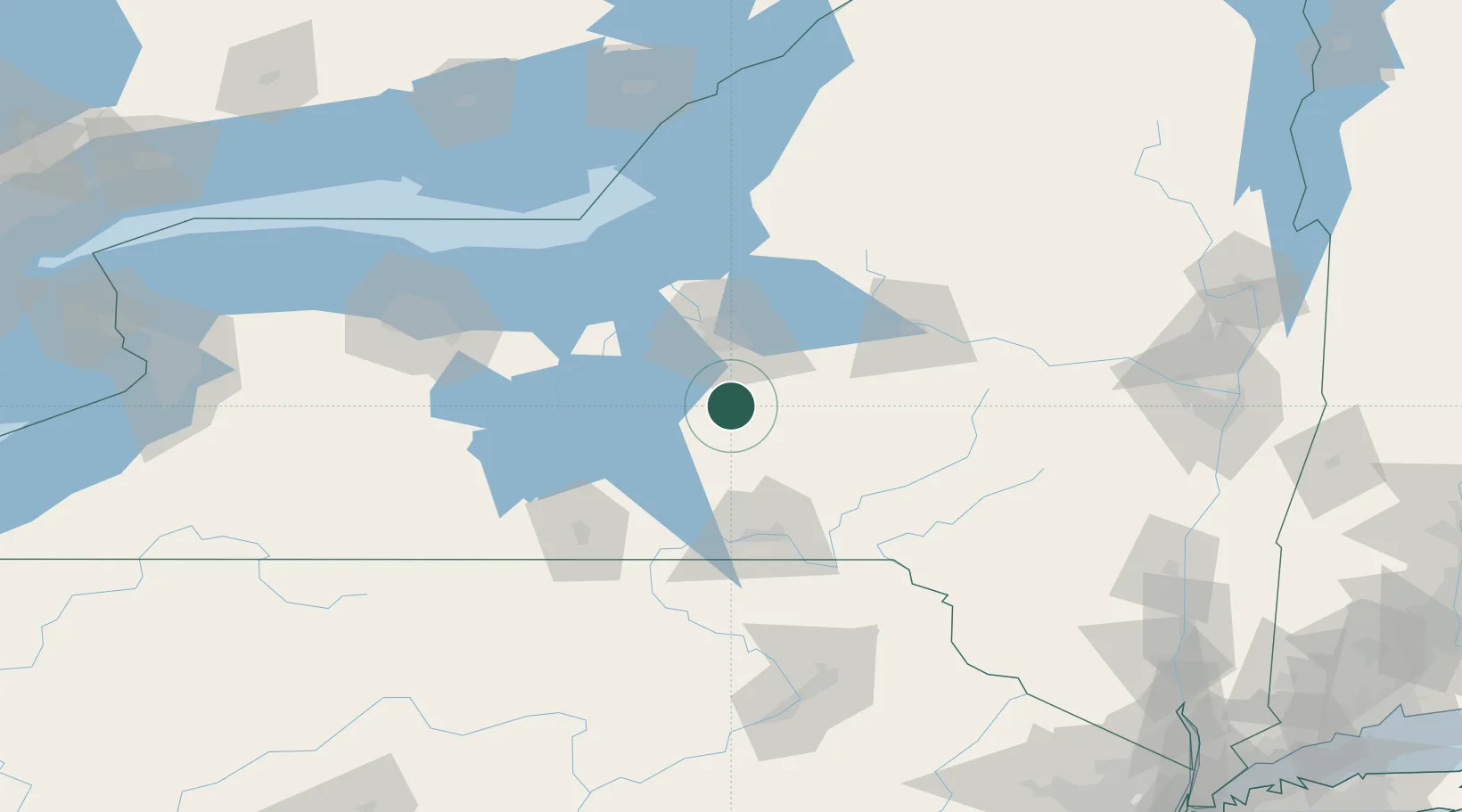
Location
Nearby Logistics Neighbours
Cities
- 1Homer12 km
- 2Moravia26 km
- 3Groton26 km
- 4Rhode Island27 km
- 5Pleasant Valley30 km
Ports
- 1Oswego88 km
- 2Sodus Bay92 km
- 3Rochester134 km
- 4Picton165 km
- 5Wolfe Island165 km
Airports
Trade Zones
- 1FTZ No. 172 Oneida County57 km
- 2FTZ No. 090 Onondaga87 km
- 3FTZ No. 289 Ontario County119 km
- 4FTZ No. 109 Watertown141 km
- 5FTZ No. 024 Pittston158 km
DatabookThe Record of Consolidated Knowledge
United States beyond logistics?