Transport Functions
Multimodal
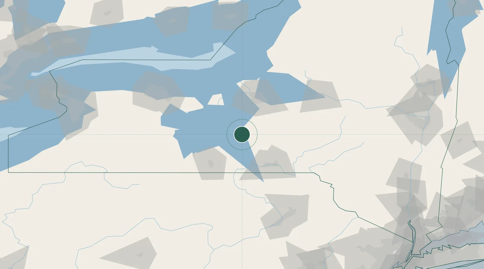
Hub Profile
Place type
Populated place
Region
New York
Time zone
America/New_York
Elevation
391 m
Location
Nearby Logistics Neighbours
Ports
- 1Sodus Bay94 km
- 2Oswego103 km
- 3Rochester127 km
- 4Picton174 km
- 5Wolfe Island184 km
Airports
Trade Zones
- 1FTZ No. 172 Oneida County82 km
- 2FTZ No. 289 Ontario County101 km
- 3FTZ No. 090 Onondaga101 km
- 4FTZ No. 024 Pittston144 km
- 5FTZ No. 141 Monroe County153 km
DatabookThe Record of Consolidated Knowledge
United States beyond logistics?