Transport Functions
Road
Multimodal
Hub Profile
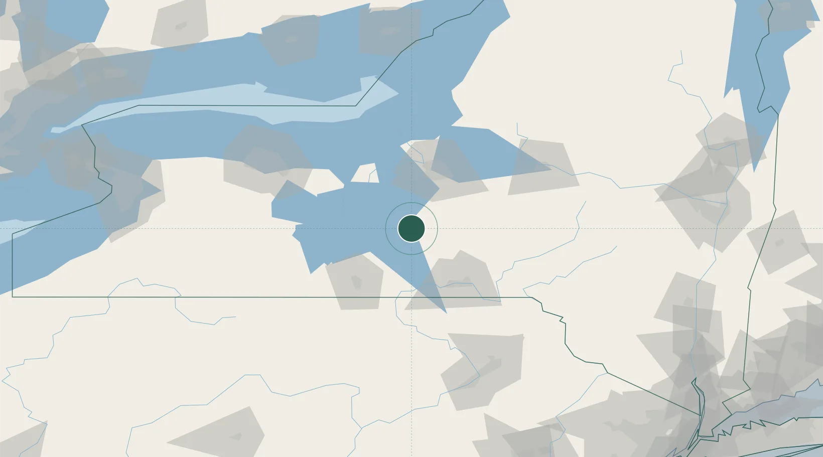
Place type
Populated place
Region
New York
Population
2,396
Time zone
America/New_York
Elevation
304 m
Location
Nearby Logistics Neighbours
Cities
- 1Pleasant Valley4 km
- 2Moravia16 km
- 3Homer17 km
- 4Baltimore26 km
- 5Lodi37 km
Ports
- 1Sodus Bay91 km
- 2Oswego99 km
- 3Rochester126 km
- 4Picton171 km
- 5Wolfe Island180 km
Airports
Trade Zones
- 1FTZ No. 172 Oneida County78 km
- 2FTZ No. 090 Onondaga98 km
- 3FTZ No. 289 Ontario County101 km
- 4FTZ No. 024 Pittston147 km
- 5FTZ No. 141 Monroe County152 km
DatabookThe Record of Consolidated Knowledge
United States beyond logistics?