UN/LOCODE hub · United States
USKNE
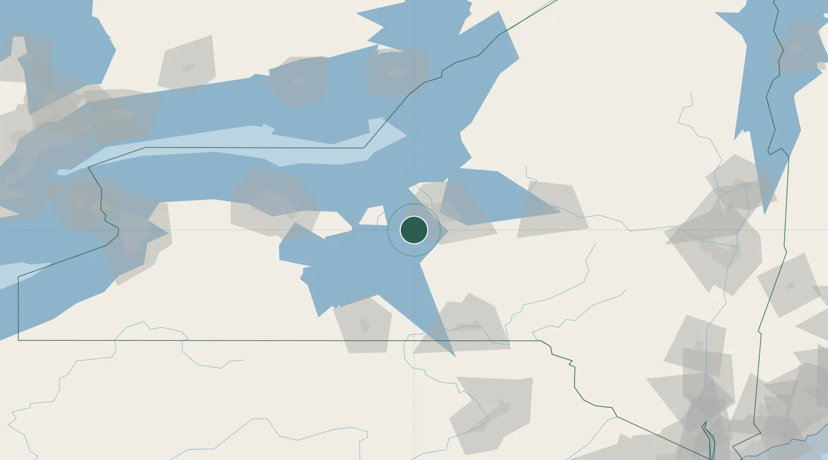
Skaneateles
42.9333°, -76.4167°
2,474
Population
2
Transport functions
Transport Functions
Road
Multimodal
Hub Profile
Place type
Populated place
Region
New York
Population
2,474
Time zone
America/New_York
Elevation
266 m
Location
Nearby Logistics Neighbours
Cities
- 1Elbridge11 km
- 2Camillus15 km
- 3Weedsport16 km
- 4Centerport, Gayuga20 km
- 5Solvay22 km
Ports
- 1Sodus Bay59 km
- 2Oswego60 km
- 3Rochester103 km
- 4Picton134 km
- 5Wolfe Island141 km
Airports
Trade Zones
- 1FTZ No. 172 Oneida County46 km
- 2FTZ No. 090 Onondaga59 km
- 3FTZ No. 289 Ontario County95 km
- 4FTZ No. 109 Watertown125 km
- 5FTZ No. 141 Monroe County132 km
DatabookThe Record of Consolidated Knowledge
United States beyond logistics?