Transport Functions
Port
Road
Hub Profile
Place type
Populated place
Region
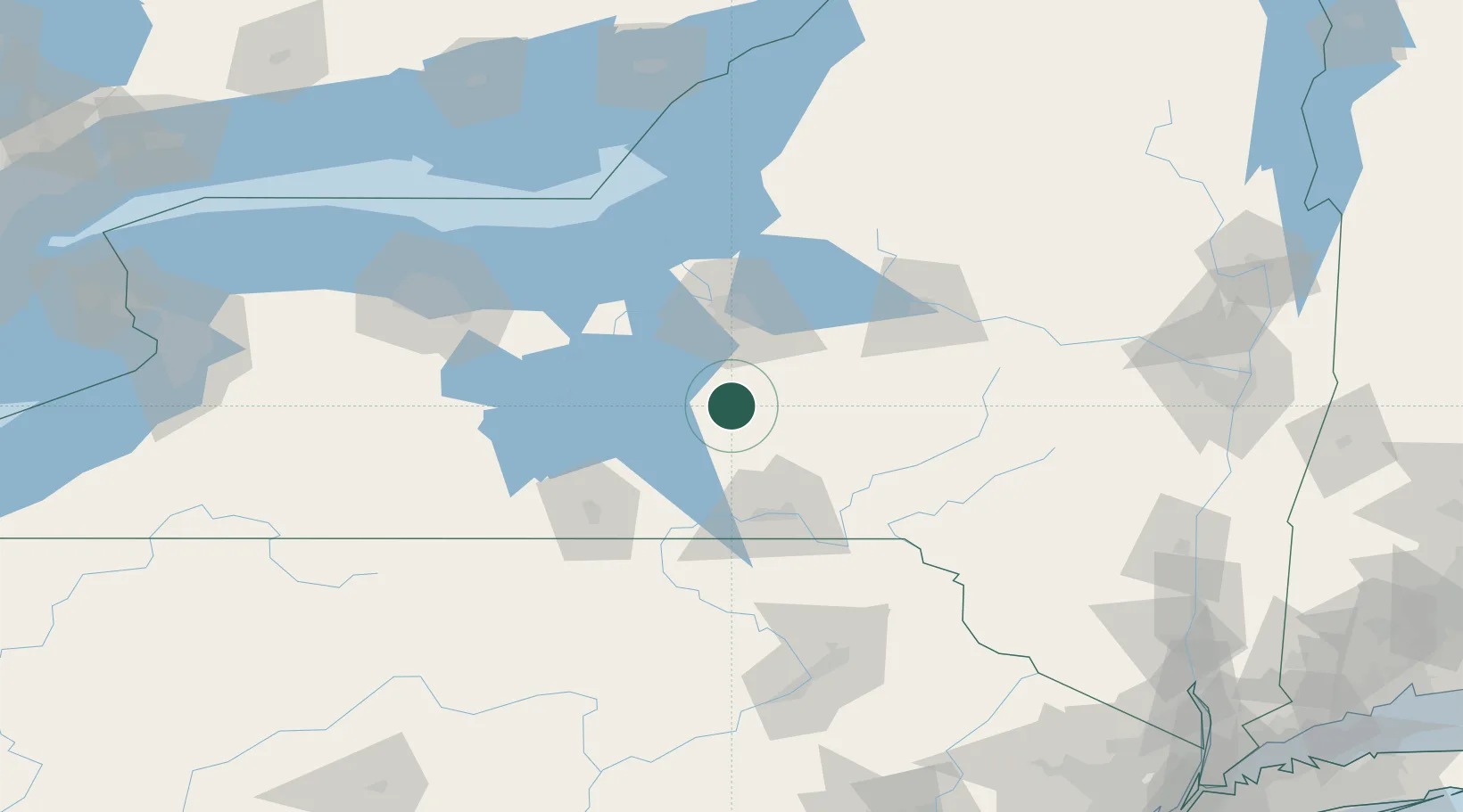
New York
Population
3,183
Time zone
America/New_York
Elevation
343 m
Location
Nearby Logistics Neighbours
Cities
- 1Baltimore12 km
- 2Groton17 km
- 3Pleasant Valley20 km
- 4Moravia24 km
- 5Rhode Island30 km
Ports
- 1Sodus Bay97 km
- 2Oswego97 km
- 3Rochester136 km
- 4Picton173 km
- 5Wolfe Island176 km
Airports
Trade Zones
- 1FTZ No. 172 Oneida County68 km
- 2FTZ No. 090 Onondaga96 km
- 3FTZ No. 289 Ontario County116 km
- 4FTZ No. 024 Pittston148 km
- 5FTZ No. 109 Watertown152 km
DatabookThe Record of Consolidated Knowledge
United States beyond logistics?