UN/LOCODE hub · United States
USFXA

Fate

32.9333°, -96.3833°
9,847
Population
2
Transport functions

Transport Functions

Rail
Road
UN/LOCODE

Hub Profile

Place type
Populated place
GeoNames
Region
Texas
GeoNames
Population
9,847
GeoNames
Time zone
America/Chicago
GeoNames
Elevation
179 m
GeoNames

Location

Location of USFXA
Natural Earth 10m (public domain) · Texas · USFXA · 32.93, -96.38GoogleOSMYandex

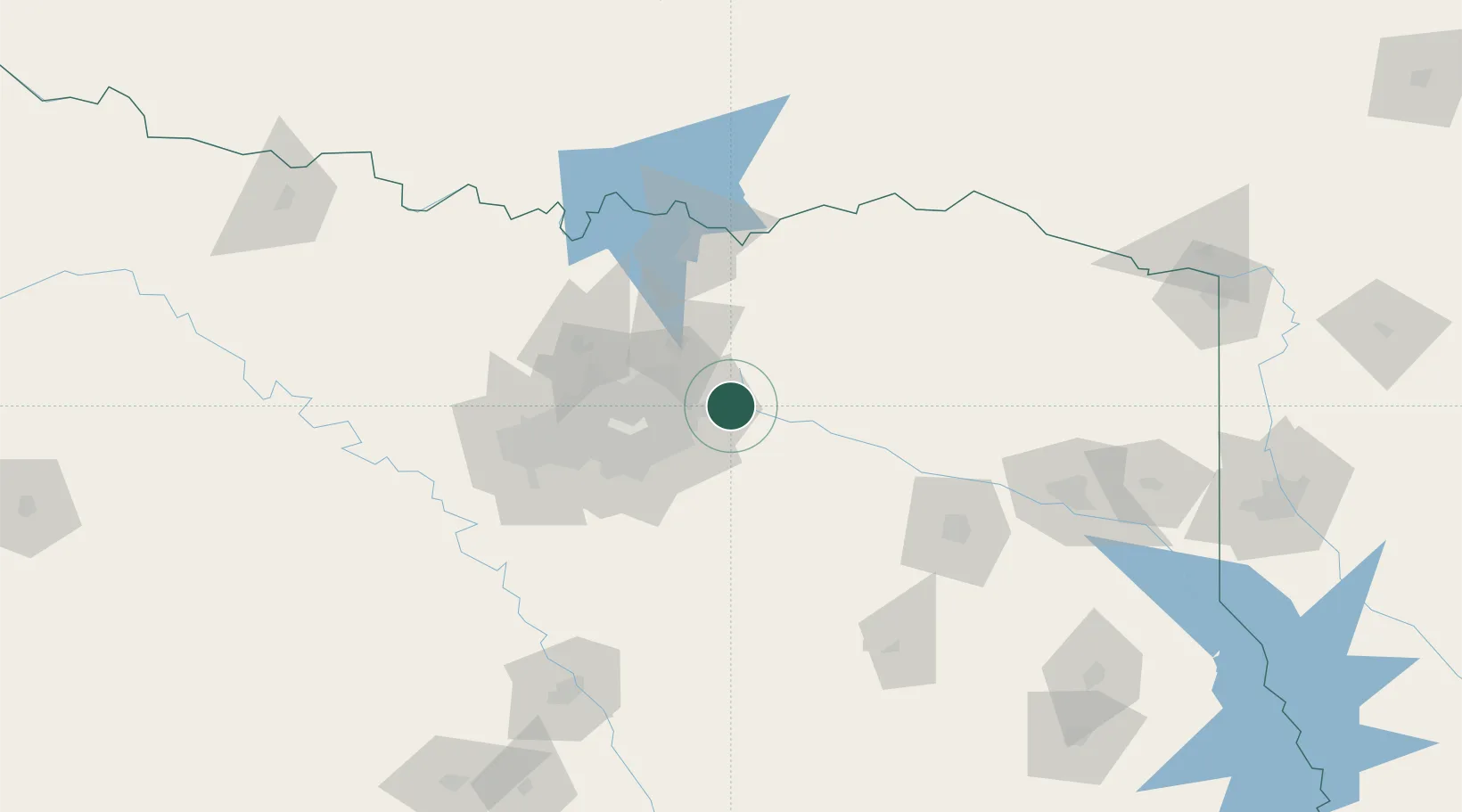
Nearby Logistics Neighbours

Cities
  1. 1Blackland, Rockwell4 km
  2. 2Rowlett16 km
  3. 3Sachse19 km
  4. 4Farmersville24 km
  5. 5Allen36 km
Nearest neighbours — logibook spatial index (haversine) over the source coordinates
Ports
  1. 1Deer Park368 km
  2. 2Houston369 km
  3. 3Pasadena374 km
  4. 4Baytown379 km
  5. 5Beaumont385 km
Nearest neighbours — logibook spatial index (haversine) over the source coordinates
Airports
  1. 1Dallas Love Field45 km
  2. 2Van Zandt County Regional Airport47 km
  3. 3Dallas Fort Worth International Airport61 km
  4. 4Mid-Way Regional Airport72 km
  5. 5Perot Field/Fort Worth Alliance Airport88 km
Nearest neighbours — logibook spatial index (haversine) over the source coordinates
Trade Zones
  1. 1FTZ No. 113 Ellis County92 km
  2. 2FTZ No. 269 Athens94 km
  3. 3FTZ No. 168 Dallas Fort Worth109 km
  4. 4FTZ No. 196 Fort Worth112 km
  5. 5FTZ No. 227 Durant119 km
Nearest neighbours — logibook spatial index (haversine) over the source coordinates
DatabookThe Record of Consolidated Knowledge
United States beyond logistics?
Browse databook

All Sources

LocationsUN/LOCODE
UN/LOCODE — free
LocationsGeoNames
CC BY 4.0
Portsthe NGA World Port Index
Public domain (US gov)
AirportsOurAirports
Public domain
Trade Zonesthe World Bank SEZ database
CC BY 4.0
Trade ZonesOpen Zone Map
CC BY
← United States locations