UN/LOCODE hub · United States
USVCR
Beavercreek
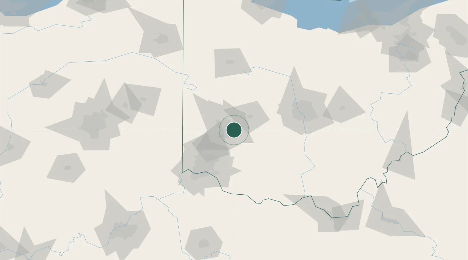
39.7333°, -84.0500°
46,277
Population
2
Transport functions
Transport Functions
Road
Multimodal
Hub Profile
Place type
Populated place
Region
Ohio
Population
46,277
Time zone
America/New_York
Elevation
266 m
Location
Nearby Logistics Neighbours
Cities
- 1Bellbrook11 km
- 2Huber Heights13 km
- 3Enon18 km
- 4Trotwood22 km
- 5New Carlisle22 km
Ports
- 1Port Clinton220 km
- 2Sandusky222 km
- 3Toledo224 km
- 4Huron225 km
- 5Vermilion237 km
Airports
Trade Zones
- 1FTZ No. 100 Dayton21 km
- 2FTZ No. 054 Clinton County41 km
- 3FTZ No. 046 CIncinnati81 km
- 4FTZ No. 138 Franklin County96 km
- 5FTZ No. 047 Boone County112 km
DatabookThe Record of Consolidated Knowledge
United States beyond logistics?