UN/LOCODE hub · United States
USB44
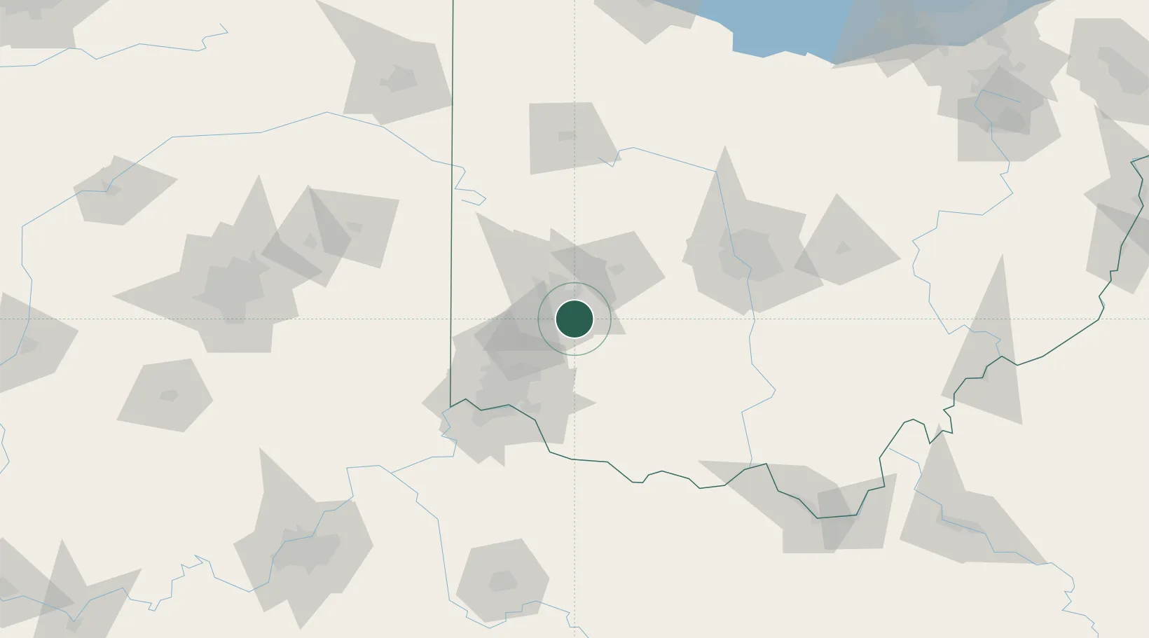
Bellbrook
39.6333°, -84.0667°
7,053
Population
1
Transport functions
Transport Functions
Port
Hub Profile
Place type
Populated place
Region
Ohio
Population
7,053
Time zone
America/New_York
Elevation
237 m
Location
Nearby Logistics Neighbours
Cities
- 1Beavercreek11 km
- 2Waynesville11 km
- 3Miamisburg19 km
- 4Huber Heights23 km
- 5Germantown26 km
Ports
- 1Port Clinton230 km
- 2Sandusky232 km
- 3Huron235 km
- 4Toledo235 km
- 5Vermilion246 km
Airports
Trade Zones
- 1FTZ No. 100 Dayton26 km
- 2FTZ No. 054 Clinton County33 km
- 3FTZ No. 046 CIncinnati71 km
- 4FTZ No. 138 Franklin County99 km
- 5FTZ No. 047 Boone County103 km
DatabookThe Record of Consolidated Knowledge
United States beyond logistics?