Transport Functions
Rail
Road
Hub Profile
Place type
Populated place
Region
Indiana
Population
496
Time zone
America/Indiana/Indianapolis
Elevation
292 m
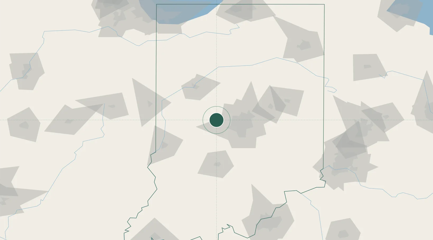
Location
Nearby Logistics Neighbours
Cities
- 1Danville15 km
- 2Brownsburg15 km
- 3Whitestown18 km
- 4Avon21 km
- 5Clayton22 km
Ports
- 1Gary204 km
- 2Michigan City208 km
- 3Indiana Harbor212 km
- 4Calumet Harbor221 km
- 5Chicago239 km
Airports
Trade Zones
- 1FTZ No. 072 Indianapolis27 km
- 2FTZ No. 182 Fort Wayne171 km
- 3FTZ No. 047 Boone County176 km
- 4FTZ No. 029 Louisville191 km
- 5FTZ No. 100 Dayton194 km
DatabookThe Record of Consolidated Knowledge
United States beyond logistics?